ملف:Mexico City urban area.png
الملف الأصلي (2٬572 × 2٬624 بكسل حجم الملف: 9٫03 ميجابايت، نوع MIME: image/png)
وصف قصير
| Description |
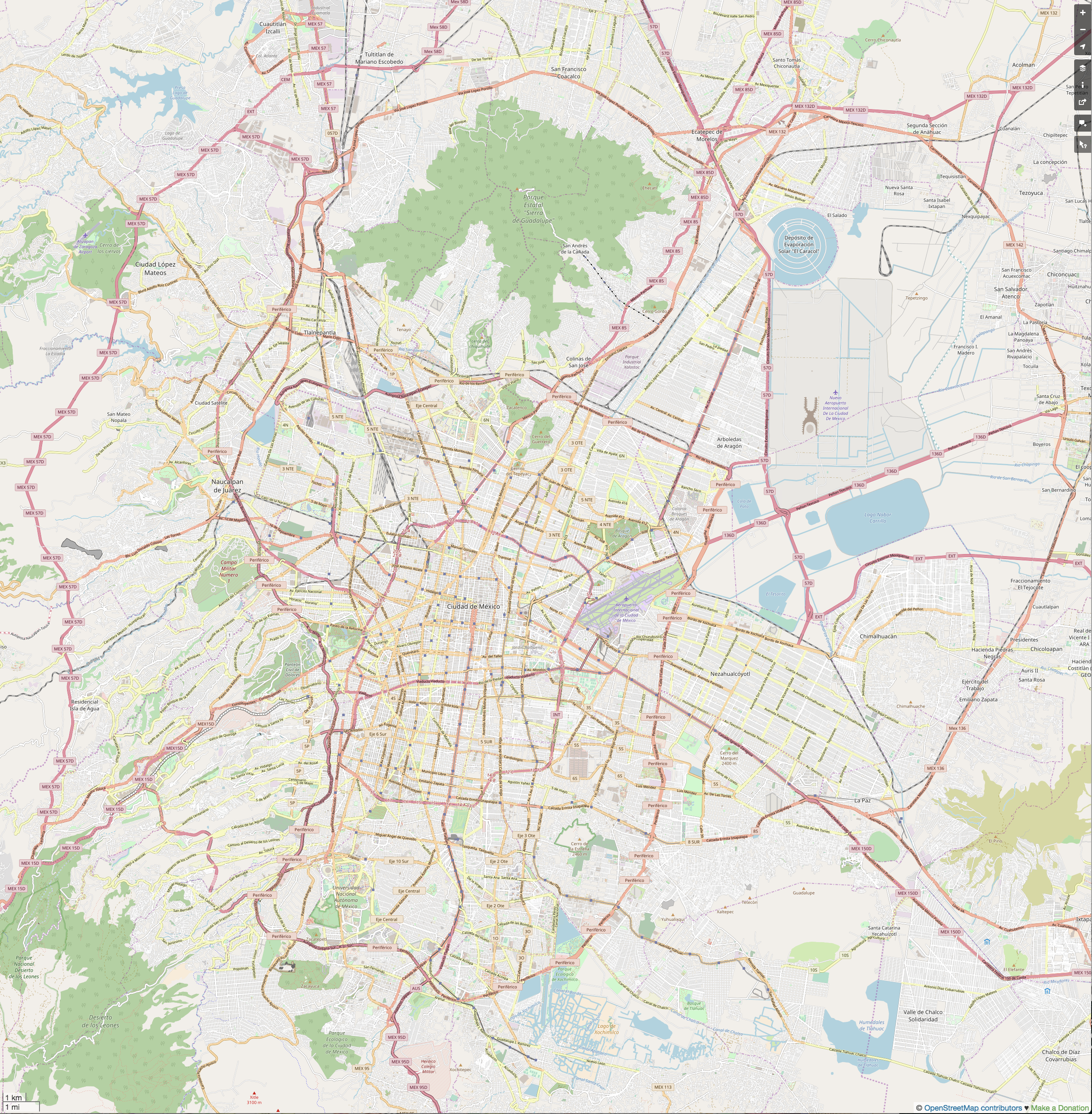
This map was created from OpenStreetMap project data, collected by the community. This map may be incomplete, and may contain errors. Don't rely solely on it for navigation.
|
||||||||||||
| Date | (see file history) | ||||||||||||
| Source | openstreetmap.org | ||||||||||||
| Author | OpenStreetMap contributors | ||||||||||||
| ⧼wm-license-information-permission⧽ (⧼wm-license-information-permission-reusing-text⧽) |
All OpenStreetMap data and maps are Creative Commons "CC-BY-SA 2.0" licensed |
||||||||||||
Mexico City Centro Polanco.jpg == Usage == * This template can be used without any parameter, but it also supports setting the source=, the date=, the authors=, location= and the other_versions=. If source is not used the parameter name has to be used. * The parameters top=, bottom=, left=, and right= can be used to store the border coordinates of the map. This information can be useful for various mapping templates that are used in various Wikimedia projects. Mexico City Centro urban area.jpgCategory:Internationalization templates using LangSwitch
ترخيص
|
|
هذا الملفُّ مُرخَّص بموجب رخصة المشاع الإبداعي نسبة المُصنَّف إِلى مؤلفه - المشاركة بالمثل 3.0 العامة. |
تاريخ الملف
اضغط على زمن/تاريخ لرؤية الملف كما بدا في هذا الزمن.
| زمن/تاريخ | صورة مصغرة | الأبعاد | مستخدم | تعليق | |
|---|---|---|---|---|---|
| حالي | ★ مراجعة معتمدة 12:43، 16 فبراير 2026 | | 2٬572 × 2٬624 (9٫03 ميجابايت) | Shafei (نقاش | مساهمات) |
لا يمكنك استبدال هذا الملف.
وصلات
الصفحات التالية تحتوي على وصلة لهذه الصورة: