ملف:Wayside Chapel, Sioux Center, IA 7-27-13q (11033731094).jpg
حجم هذه المعاينة: 676 × 600 بكسل. البعد الآخر: 1٬650 × 1٬464 بكسل.
الملف الأصلي (1٬650 × 1٬464 بكسل حجم الملف: 547 كيلوبايت، نوع MIME: image/jpeg)
وصف قصير
| ⧼wm-license-information-description⧽ |
English: (1 in a multiple picture set)
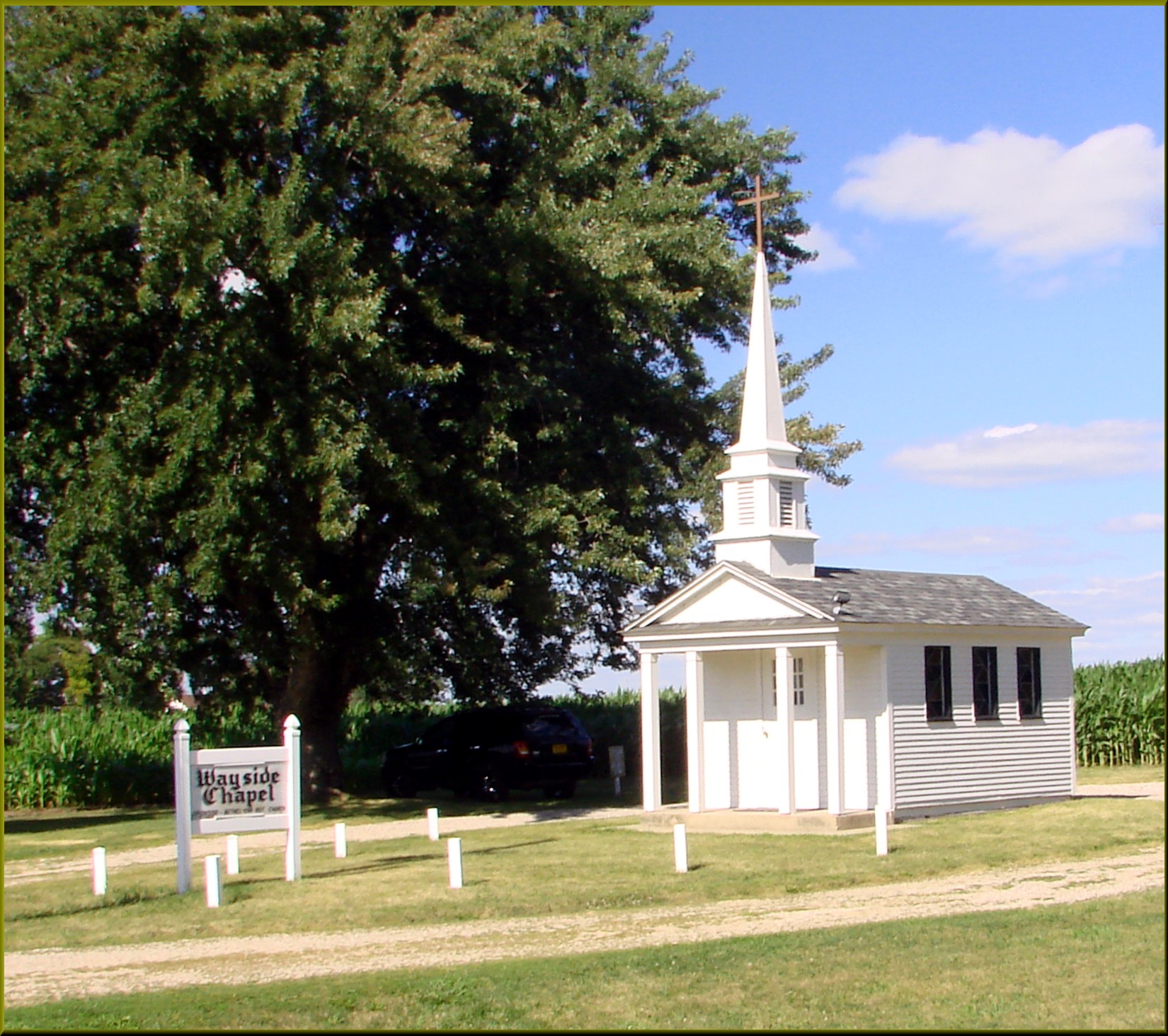
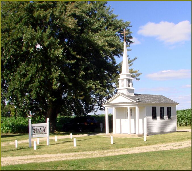
This farmer, back in the 60s, set aside a small piece of his land along Hwy. 75 and built this fine little chapel so that travelers of the road could stop and meditate. Sixty years later, this chapel is still kept in pristine condition. |
| ⧼wm-license-information-date⧽ | 2013, {{time}} – invalid date format 20 (help) |
| ⧼wm-license-information-source⧽ | https://www.flickr.com/photos/23155134@N06/11033731094/ |
| ⧼wm-license-information-author⧽ | inkknife_2000 (7.5 million views +) |
| ⧼wm-license-information-permission⧽ (⧼wm-license-information-permission-reusing-text⧽) |
|
| Flickr sets |
|
| Flickr pools |
|
| Flickr tags |
|
43°09′11″N 96°11′22″W / 43.153101°N 96.189422°W
.jpg¶ms=43.153101_N_96.189422_W_)
ترخيص
تاريخ الملف
اضغط على زمن/تاريخ لرؤية الملف كما بدا في هذا الزمن.
| زمن/تاريخ | صورة مصغرة | الأبعاد | مستخدم | تعليق | |
|---|---|---|---|---|---|
| حالي | ★ مراجعة معتمدة 15:05، 17 نوفمبر 2023 | | 1٬650 × 1٬464 (547 كيلوبايت) | Pastakhov (نقاش | مساهمات) | Upload https://upload.wikimedia.org/wikipedia/commons/1/16/Wayside_Chapel%2C_Sioux_Center%2C_IA_7-27-13q_%2811033731094%29.jpg |
لا يمكنك استبدال هذا الملف.
وصلات
لا يوجد صفحات تصل لهذه الصورة.
.jpg&oldid=3545473)