ملف:Water End, Brompton by Northallerton - geograph.org.uk - 173509.jpg
لا توجد دقة أعلى متوفرة.
Water_End,_Brompton_by_Northallerton_-_geograph.org.uk_-_173509.jpg (640 × 480 بكسل حجم الملف: 289 كيلوبايت، نوع MIME: image/jpeg)
وصف قصير
| ⧼wm-license-information-description⧽ |
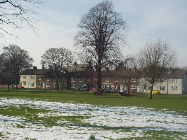
English: Water End, Brompton by Northallerton. Looking from the road on the south side towards Stainthorp Terrace on the north side. The footbridge over Brompton Beck is just visible behind the swing to the right of the large tree.
|
| ⧼wm-license-information-date⧽ | 2004 |
| ⧼wm-license-information-source⧽ | From geograph.org.uk |
| ⧼wm-license-information-author⧽ | RichTea |
54°21′47″N 1°25′01″W / 54.3631°N 1.417°W قالب:Object location
_heading:315)
ترخيص
تاريخ الملف
اضغط على زمن/تاريخ لرؤية الملف كما بدا في هذا الزمن.
| زمن/تاريخ | صورة مصغرة | الأبعاد | مستخدم | تعليق | |
|---|---|---|---|---|---|
| حالي | ★ مراجعة معتمدة 22:04، 10 أكتوبر 2023 | | 640 × 480 (289 كيلوبايت) | Pastakhov (نقاش | مساهمات) | Upload https://upload.wikimedia.org/wikipedia/commons/6/67/Water_End%2C_Brompton_by_Northallerton_-_geograph.org.uk_-_173509.jpg |
لا يمكنك استبدال هذا الملف.
وصلات
لا يوجد صفحات تصل لهذه الصورة.