ملف:View south of cluster housing on northern outskirts of Kokstad (1414850469).jpg
حجم هذه المعاينة: 800 × 600 بكسل. البعد الآخر: 1٬024 × 768 بكسل.
الملف الأصلي (1٬024 × 768 بكسل حجم الملف: 311 كيلوبايت، نوع MIME: image/jpeg)
وصف قصير
| ⧼wm-license-information-description⧽ |
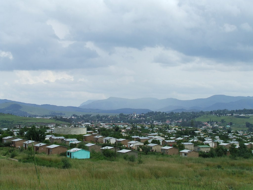
English: Stopped near Kokstad for lunch at Wimpy Bar in Engen petrol station near where N2 meets road into Kokstad town centre. This photo is taken as I stopped while skirting southern slopes of Mount Currie on R617 just to north of Kokstad on my way to Swartberg Kingscote & Underberg. Check of Garmap's Africa Topo & Rec shows housing marked as "Mt Currie Outlying". Mountains in distance known as "Nolangeni" at 2,016 m and lies beyond Brooks Nek Pass where N2 passes down into Eastern Cape Province then onto Mt Ayliff & Umtata. Road (R56) to Matatiele & Qachas Nek border into Lesotho heads off to right of picture while Kwazulu Natal coast is away to left through Staffords Post and Harding. Kokstad gets very cold and isolated by snowfalls in winter months.
|
| ⧼wm-license-information-date⧽ | 2006, {{time}} – invalid date format 19 (help) |
| ⧼wm-license-information-source⧽ | View south of cluster housing on northern outskirts of Kokstad
|
| ⧼wm-license-information-author⧽ | Michael Denne from Hobart, Australia |
ترخيص
تاريخ الملف
اضغط على زمن/تاريخ لرؤية الملف كما بدا في هذا الزمن.
| زمن/تاريخ | صورة مصغرة | الأبعاد | مستخدم | تعليق | |
|---|---|---|---|---|---|
| حالي | ★ مراجعة معتمدة 17:36، 5 أكتوبر 2023 | | 1٬024 × 768 (311 كيلوبايت) | Pastakhov (نقاش | مساهمات) | Upload https://upload.wikimedia.org/wikipedia/commons/4/48/View_south_of_cluster_housing_on_northern_outskirts_of_Kokstad_%281414850469%29.jpg |
لا يمكنك استبدال هذا الملف.
وصلات
لا يوجد صفحات تصل لهذه الصورة.
.jpg&oldid=2985647)