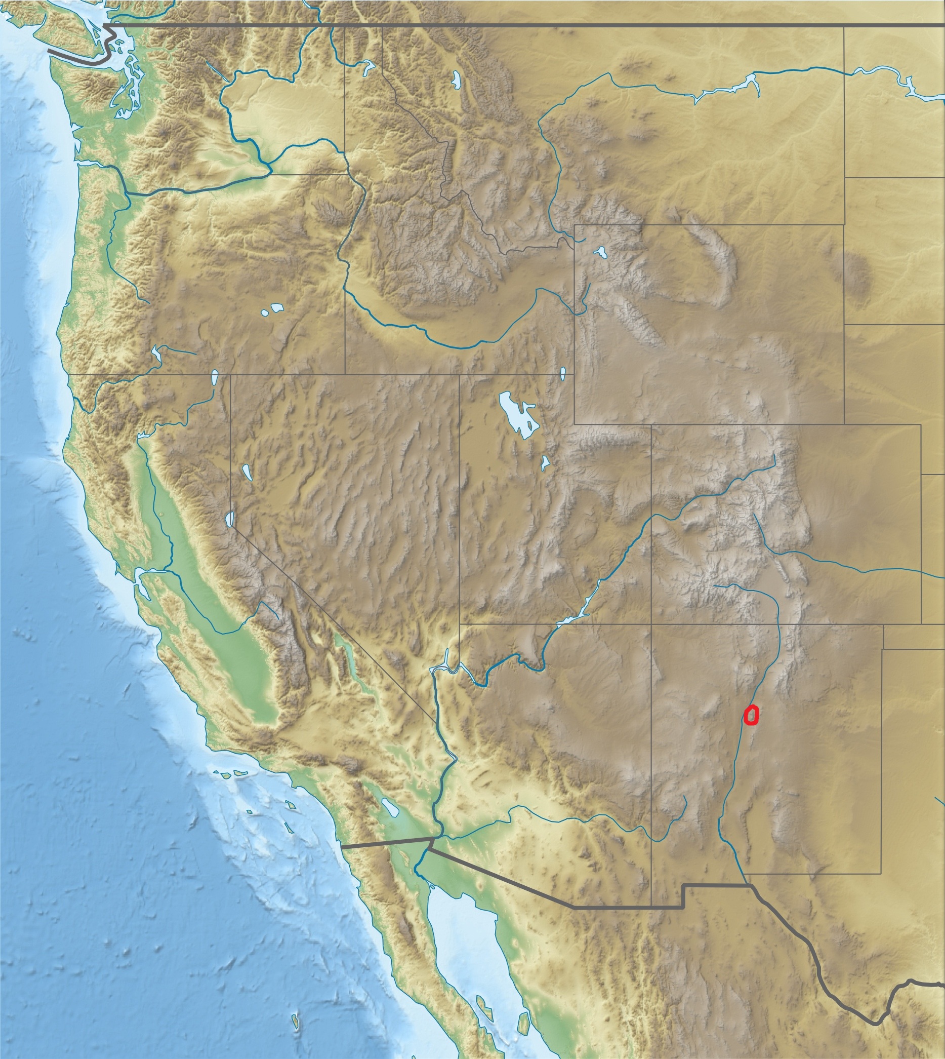
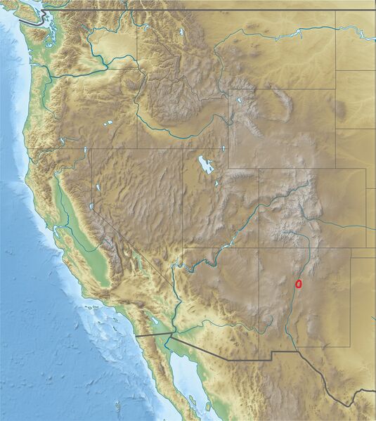
ملف:USA Region West relief Sandia Mountains location map.jpg
حجم هذه المعاينة: 535 × 599 بكسل. البعد الآخر: 1٬867 × 2٬091 بكسل.
الملف الأصلي (1٬867 × 2٬091 بكسل حجم الملف: 1٫05 ميجابايت، نوع MIME: image/jpeg)
وصف قصير
| ⧼wm-license-information-description⧽ |
Equirectangular projection, N/S stretching 130.0 %. Geographic limits of the map:
|
| ⧼wm-license-information-date⧽ | 2016 |
| ⧼wm-license-information-source⧽ | ⧼Wm-license-own-work⧽
|
| ⧼wm-license-information-author⧽ | Alexrk2, Gemini1980 |
| ⧼wm-license-information-other-versions⧽ |
|

ترخيص
|

تاريخ الملف
اضغط على زمن/تاريخ لرؤية الملف كما بدا في هذا الزمن.
| زمن/تاريخ | صورة مصغرة | الأبعاد | مستخدم | تعليق | |
|---|---|---|---|---|---|
| حالي | ★ مراجعة معتمدة 19:38، 2 ديسمبر 2023 | | 1٬867 × 2٬091 (1٫05 ميجابايت) | Pastakhov (نقاش | مساهمات) | Upload https://upload.wikimedia.org/wikipedia/commons/8/81/USA_Region_West_relief_Sandia_Mountains_location_map.jpg |
لا يمكنك استبدال هذا الملف.
وصلات
لا يوجد صفحات تصل لهذه الصورة.