ملف:Tuxford High Street - geograph.org.uk - 1372339.jpg
لا توجد دقة أعلى متوفرة.
Tuxford_High_Street_-_geograph.org.uk_-_1372339.jpg (640 × 427 بكسل حجم الملف: 65 كيلوبايت، نوع MIME: image/jpeg)
وصف قصير
| ⧼wm-license-information-description⧽ |
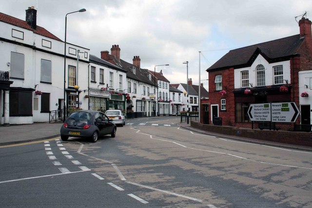
English: Tuxford High Street The road to the left leads to Markham Moor or Ollerton, the junction is just around the corner. Turn right towards Lincoln.
|
| ⧼wm-license-information-date⧽ | 2009 |
| ⧼wm-license-information-source⧽ | From geograph.org.uk |
| ⧼wm-license-information-author⧽ | roger geach |
| ⧼wm-license-cc-attribution⧽ (قالب:I18n/Credit line) |
roger geach / Tuxford High Street / |
53°13′52″N 0°53′55″W / 53.23117°N 0.8985°W قالب:Object location
_heading:292)
ترخيص
تاريخ الملف
اضغط على زمن/تاريخ لرؤية الملف كما بدا في هذا الزمن.
| زمن/تاريخ | صورة مصغرة | الأبعاد | مستخدم | تعليق | |
|---|---|---|---|---|---|
| حالي | ★ مراجعة معتمدة 21:12، 8 أكتوبر 2023 | | 640 × 427 (65 كيلوبايت) | Pastakhov (نقاش | مساهمات) | Upload https://upload.wikimedia.org/wikipedia/commons/6/62/Tuxford_High_Street_-_geograph.org.uk_-_1372339.jpg |
لا يمكنك استبدال هذا الملف.
وصلات
لا يوجد صفحات تصل لهذه الصورة.