ملف:Sutton village sign - geograph.org.uk - 901154.jpg
حجم هذه المعاينة: 400 × 600 بكسل. البعد الآخر: 427 × 640 بكسل.
الملف الأصلي (427 × 640 بكسل حجم الملف: 59 كيلوبايت، نوع MIME: image/jpeg)
وصف قصير
| ⧼wm-license-information-description⧽ |
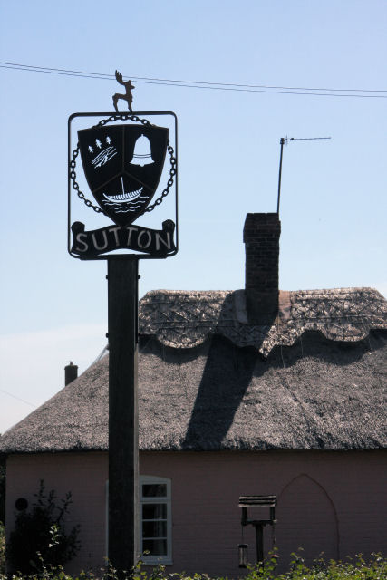
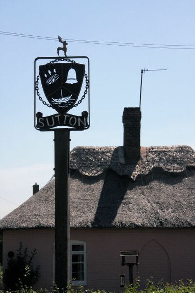
English: Sutton village sign This sign is situated near the church, at the junction of the B1083 and the byway leading to Sutton Hall. The sign appears to be winking, with the 'mouth' representing the burial ship at nearby Sutton Hoo.
|
| ⧼wm-license-information-date⧽ | 2008 |
| ⧼wm-license-information-source⧽ | From geograph.org.uk |
| ⧼wm-license-information-author⧽ | Bob Jones |
| ⧼wm-license-cc-attribution⧽ (قالب:I18n/Credit line) |
Bob Jones / Sutton village sign / |
52°04′04″N 1°21′43″E / 52.06774°N 1.3620°E قالب:Object location
_heading:180)
ترخيص
تاريخ الملف
اضغط على زمن/تاريخ لرؤية الملف كما بدا في هذا الزمن.
| زمن/تاريخ | صورة مصغرة | الأبعاد | مستخدم | تعليق | |
|---|---|---|---|---|---|
| حالي | ★ مراجعة معتمدة 15:03، 6 أكتوبر 2023 | | 427 × 640 (59 كيلوبايت) | Pastakhov (نقاش | مساهمات) | Upload https://upload.wikimedia.org/wikipedia/commons/2/2f/Sutton_village_sign_-_geograph.org.uk_-_901154.jpg |
لا يمكنك استبدال هذا الملف.
وصلات
لا يوجد صفحات تصل لهذه الصورة.