ملف:Station Road, West Croydon - geograph.org.uk - 1619582.jpg
لا توجد دقة أعلى متوفرة.
Station_Road,_West_Croydon_-_geograph.org.uk_-_1619582.jpg (640 × 428 بكسل حجم الملف: 49 كيلوبايت، نوع MIME: image/jpeg)
وصف قصير
| ⧼wm-license-information-description⧽ |
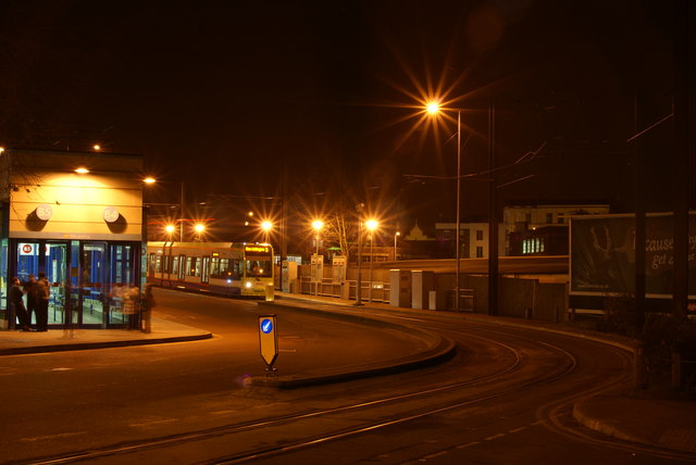
English: Station Road, West Croydon West Croydon Bus Station is to the left of picture, West Croydon Tram Stop is near the centre, and West Croydon Railway Station occupies the area in the centre/right of picture. The Railway Station is not visible, since it is at a sunken level; occupying the area which was originally the basin of the Croydon Canal.
|
| ⧼wm-license-information-date⧽ | 2009 |
| ⧼wm-license-information-source⧽ | From geograph.org.uk |
| ⧼wm-license-information-author⧽ | Peter Trimming |
| ⧼wm-license-cc-attribution⧽ (قالب:I18n/Credit line) |
Peter Trimming / Station Road, West Croydon / |
51°22′46″N 0°06′04″W / 51.37950°N 0.1012°W قالب:Object location
_heading:225)
ترخيص
تاريخ الملف
اضغط على زمن/تاريخ لرؤية الملف كما بدا في هذا الزمن.
| زمن/تاريخ | صورة مصغرة | الأبعاد | مستخدم | تعليق | |
|---|---|---|---|---|---|
| حالي | ★ مراجعة معتمدة 03:48، 14 يناير 2024 | | 640 × 428 (49 كيلوبايت) | Pastakhov (نقاش | مساهمات) | Upload https://upload.wikimedia.org/wikipedia/commons/3/3a/Station_Road%2C_West_Croydon_-_geograph.org.uk_-_1619582.jpg |
لا يمكنك استبدال هذا الملف.
وصلات
لا يوجد صفحات تصل لهذه الصورة.