ملف:State of the Map 2016 - 017.jpg
حجم هذه المعاينة: 800 × 534 بكسل. البعدان الآخران: 2٬560 × 1٬710 بكسل | 4٬000 × 2٬672 بكسل.
الملف الأصلي (4٬000 × 2٬672 بكسل حجم الملف: 4٫29 ميجابايت، نوع MIME: image/jpeg)
وصف قصير
| ⧼wm-license-information-description⧽ |
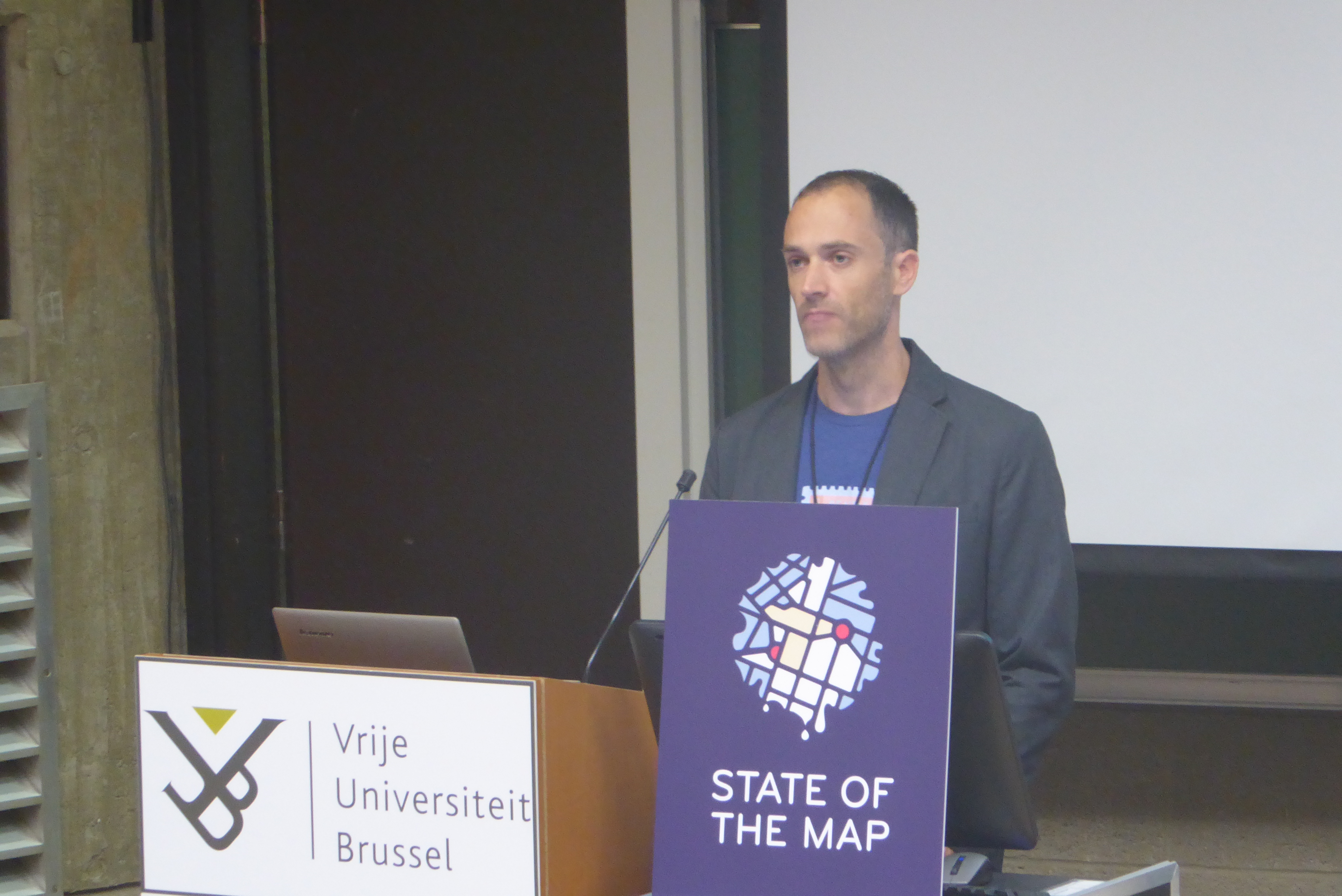
English: State of the Map 2016. Tyler Radford (Humanitarian OpenStreetMap Team) during his talk "The World We Want: OpenStreetMap and the Sustainable Development Goals".
Italiano: State of the Map 2016. Tyler Radford (Humanitarian OpenStreetMap Team) durante il suo intervento "The World We Want: OpenStreetMap and the Sustainable Development Goals".
|
| ⧼wm-license-information-date⧽ | 2016, {{time}} – invalid date format 39 (help) |
| ⧼wm-license-information-source⧽ | ⧼Wm-license-own-work⧽ |
| ⧼wm-license-information-author⧽ | Laurentius |
50°49′15″N 4°23′42″E / 50.82097°N 4.39497°E
ترخيص
|
تاريخ الملف
اضغط على زمن/تاريخ لرؤية الملف كما بدا في هذا الزمن.
| زمن/تاريخ | صورة مصغرة | الأبعاد | مستخدم | تعليق | |
|---|---|---|---|---|---|
| حالي | ★ مراجعة معتمدة 04:21، 20 نوفمبر 2023 | | 4٬000 × 2٬672 (4٫29 ميجابايت) | Pastakhov (نقاش | مساهمات) | Upload https://upload.wikimedia.org/wikipedia/commons/c/cf/State_of_the_Map_2016_-_017.jpg |
لا يمكنك استبدال هذا الملف.
وصلات
لا يوجد صفحات تصل لهذه الصورة.