ملف:St James's Road, SE16 - geograph.org.uk - 468110.jpg
لا توجد دقة أعلى متوفرة.
St_James's_Road,_SE16_-_geograph.org.uk_-_468110.jpg (640 × 480 بكسل حجم الملف: 123 كيلوبايت، نوع MIME: image/jpeg)
وصف قصير
| ⧼wm-license-information-description⧽ |
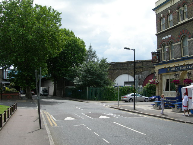
English: St James's Road, SE16 At the corner of Webster Road and Linsey Street. The pub is the St James Tavern, and there is a seafood stall outside (a common thing locally on Fridays to Sundays). The main line out of London Bridge is in the background.
|
| ⧼wm-license-information-date⧽ | 2007 |
| ⧼wm-license-information-source⧽ | From geograph.org.uk |
| ⧼wm-license-information-author⧽ | Danny Robinson |
51°29′46″N 0°03′57″W / 51.49601°N 0.0659°W قالب:Object location
_heading:180)
ترخيص
تاريخ الملف
اضغط على زمن/تاريخ لرؤية الملف كما بدا في هذا الزمن.
| زمن/تاريخ | صورة مصغرة | الأبعاد | مستخدم | تعليق | |
|---|---|---|---|---|---|
| حالي | ★ مراجعة معتمدة 09:26، 30 نوفمبر 2023 | | 640 × 480 (123 كيلوبايت) | Pastakhov (نقاش | مساهمات) | Upload https://upload.wikimedia.org/wikipedia/commons/a/a6/St_James%27s_Road%2C_SE16_-_geograph.org.uk_-_468110.jpg |
لا يمكنك استبدال هذا الملف.
وصلات
لا يوجد صفحات تصل لهذه الصورة.