ملف:Spain complete location map.svg

حجم معاينة PNG لذلك الملف ذي الامتداد SVG: 512 × 462 بكسل. البعد الآخر: 2٬270 × 2٬048 بكسل.
الملف الأصلي (ملف SVG، أبعاده 512 × 462 بكسل، حجم الملف: 1٫04 ميجابايت)
وصف قصير
قالب:Igen
| ⧼wm-license-information-description⧽ |
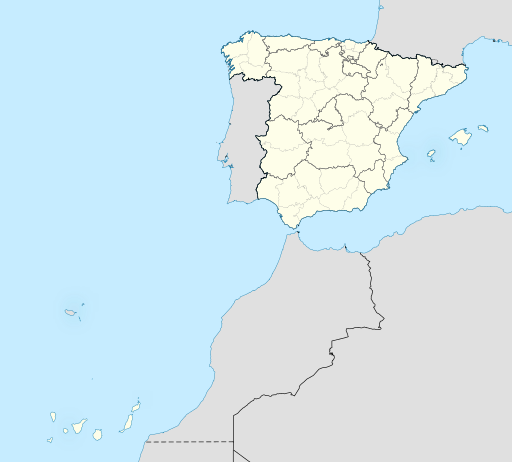
English: Location map of Spain with the Canary Islands
Equirectangular projection, N/S stretching 130 %. Geographic limits of the map:
Español: Mapa de localización de España con la Islas Canarias
Proyección equirrectangular (cilíndrica equidistante), N/S estirada 130 %. Límites geográficos del mapa:
|
| ⧼wm-license-information-date⧽ | 2010 |
| ⧼wm-license-information-source⧽ | قالب:Own based |
| ⧼wm-license-information-author⧽ | Miguillen |
ترخيص
|
تاريخ الملف
اضغط على زمن/تاريخ لرؤية الملف كما بدا في هذا الزمن.
| زمن/تاريخ | صورة مصغرة | الأبعاد | مستخدم | تعليق | |
|---|---|---|---|---|---|
| حالي | ★ مراجعة معتمدة 10:46، 28 نوفمبر 2023 | | 512 × 462 (1٫04 ميجابايت) | Pastakhov (نقاش | مساهمات) | Upload https://upload.wikimedia.org/wikipedia/commons/9/90/Spain_complete_location_map.svg |
لا يمكنك استبدال هذا الملف.
وصلات
لا يوجد صفحات تصل لهذه الصورة.