ملف:South Place view southeast between Dominion Street and Wilson Street 01.jpg

حجم هذه المعاينة: 800 × 600 بكسل. البعدان الآخران: 2٬560 × 1٬920 بكسل | 3٬648 × 2٬736 بكسل.
الملف الأصلي (3٬648 × 2٬736 بكسل حجم الملف: 3٫2 ميجابايت، نوع MIME: image/jpeg)
وصف قصير
| ⧼wm-license-information-description⧽ |
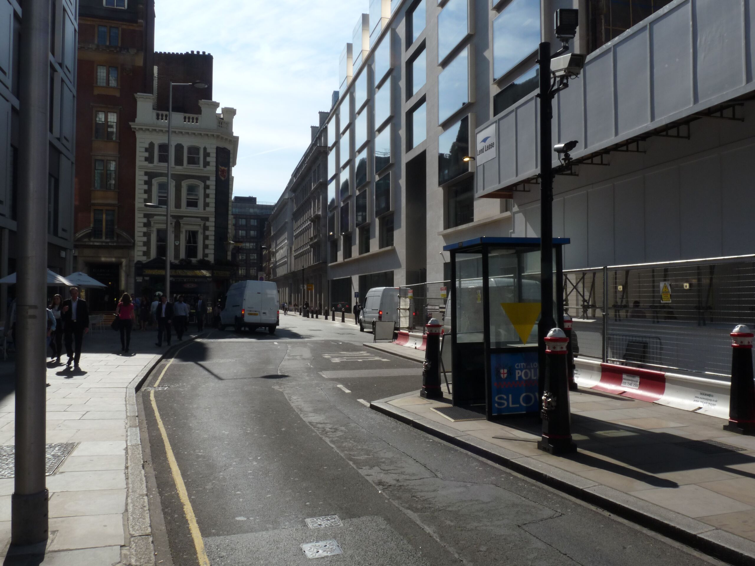
English: Illustration of the walking routes to Wikimania 2014, this image shows the route between the Barbican Centre and Liverpool Street station. This is the view southeast between Dominion Strret and Wilson Street. On the right is one of the security checkpoints that form the RIng of Steel
|
| ⧼wm-license-information-date⧽ | 2014, {{time}} – invalid date format 37 (help) |
| ⧼wm-license-information-source⧽ | ⧼Wm-license-own-work⧽ |
| ⧼wm-license-information-author⧽ | Chris McKenna |
ترخيص
|
تاريخ الملف
اضغط على زمن/تاريخ لرؤية الملف كما بدا في هذا الزمن.
| زمن/تاريخ | صورة مصغرة | الأبعاد | مستخدم | تعليق | |
|---|---|---|---|---|---|
| حالي | ★ مراجعة معتمدة 23:50، 16 أكتوبر 2023 | | 3٬648 × 2٬736 (3٫2 ميجابايت) | Pastakhov (نقاش | مساهمات) | Upload https://upload.wikimedia.org/wikipedia/commons/d/d2/South_Place_view_southeast_between_Dominion_Street_and_Wilson_Street_01.jpg |
لا يمكنك استبدال هذا الملف.
وصلات
لا يوجد صفحات تصل لهذه الصورة.