ملف:Schillerkiez Infopunkt 02 Herrfurthplatz.jpg
حجم هذه المعاينة: 800 × 600 بكسل. البعدان الآخران: 2٬560 × 1٬920 بكسل | 3٬968 × 2٬976 بكسل.
الملف الأصلي (3٬968 × 2٬976 بكسل حجم الملف: 5٫85 ميجابايت، نوع MIME: image/jpeg)
وصف قصير
| ⧼wm-license-information-description⧽ |
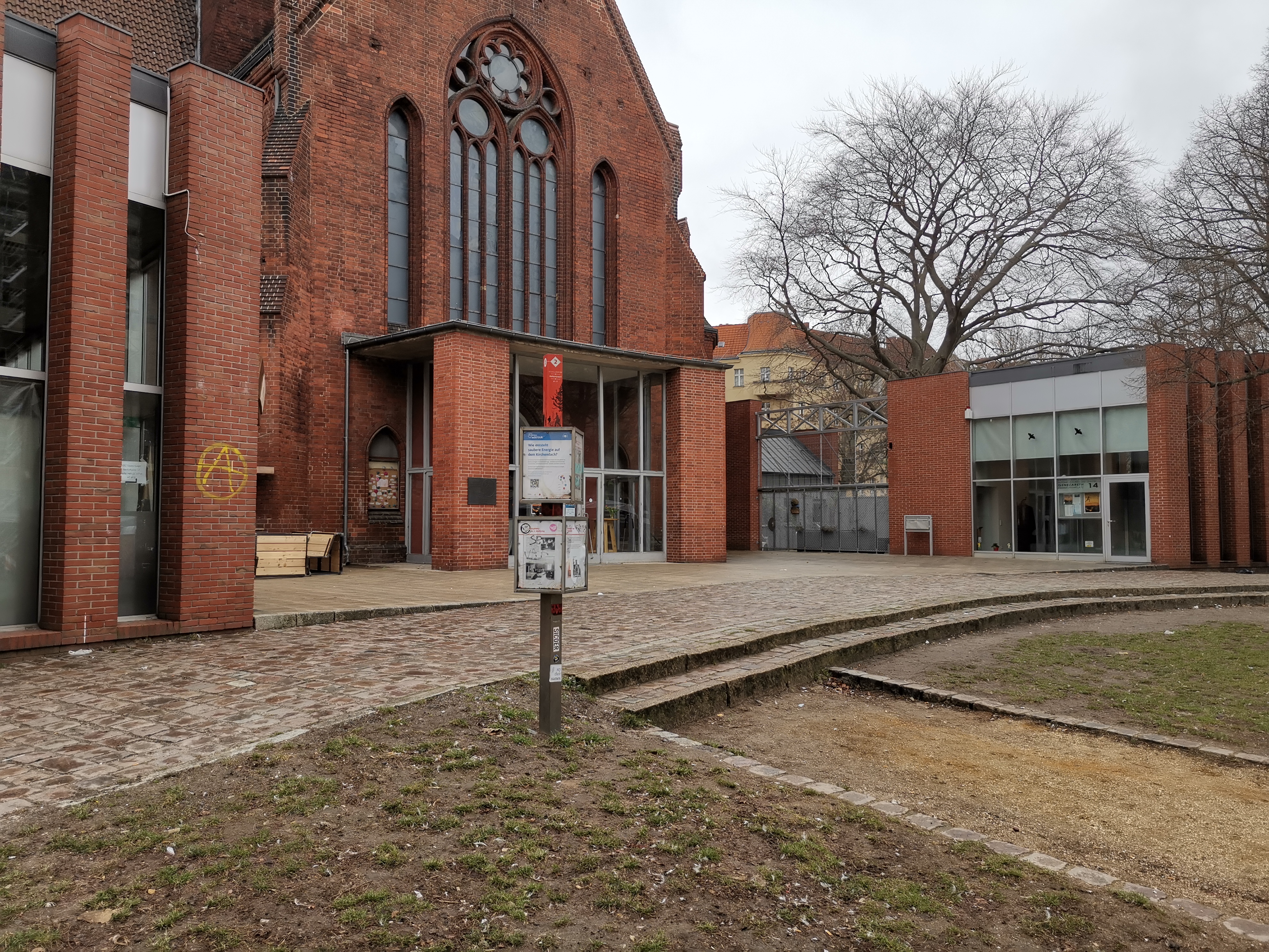
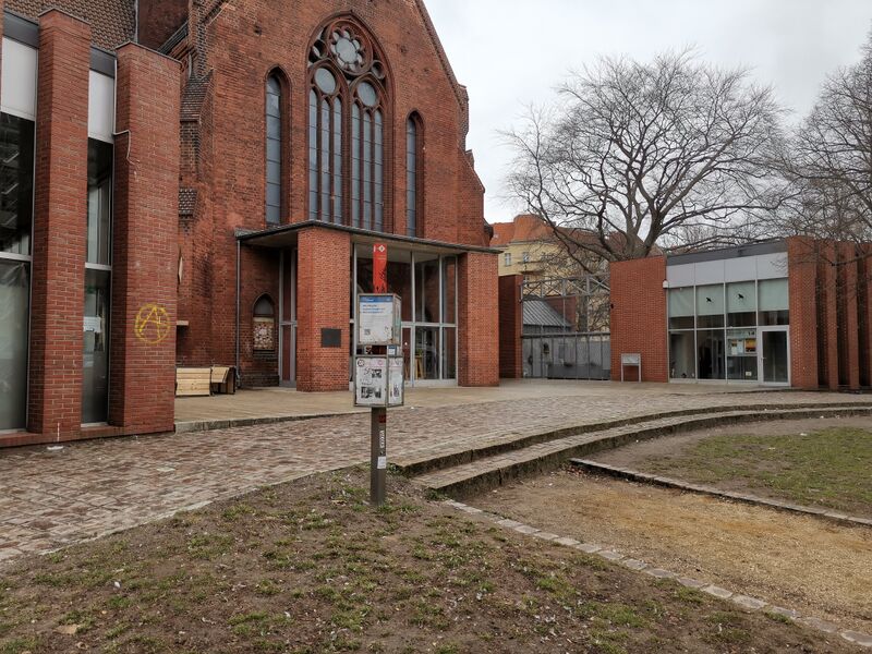
Deutsch: Informationstafel 2 zur Geschichte und Gegenwart des Berliner Schillerkiezes auf dem Herrfurthplatz.
|
| ⧼wm-license-information-date⧽ | 2021 |
| ⧼wm-license-information-source⧽ | ⧼Wm-license-own-work⧽ |
| ⧼wm-license-information-author⧽ | SupapleX |
52°28′37″N 13°25′22″E / 52.476986°N 13.422819°E
ترخيص
|
تاريخ الملف
اضغط على زمن/تاريخ لرؤية الملف كما بدا في هذا الزمن.
| زمن/تاريخ | صورة مصغرة | الأبعاد | مستخدم | تعليق | |
|---|---|---|---|---|---|
| حالي | ★ مراجعة معتمدة 00:49، 14 نوفمبر 2023 | | 3٬968 × 2٬976 (5٫85 ميجابايت) | Pastakhov (نقاش | مساهمات) | Upload https://upload.wikimedia.org/wikipedia/commons/2/2f/Schillerkiez_Infopunkt_02_Herrfurthplatz.jpg |
لا يمكنك استبدال هذا الملف.
وصلات
لا يوجد صفحات تصل لهذه الصورة.