ملف:SanDiegoMapRanchoBernardo.jpg
SanDiegoMapRanchoBernardo.jpg (631 × 466 بكسل حجم الملف: 89 كيلوبايت، نوع MIME: image/jpeg)

|
[All images in this gallery should be recreated using vector graphics as an SVG file. This has several advantages; see Commons:Media for cleanup for more information. If an SVG form of this image is already available, please upload it. After uploading an SVG, replace this template with {{vector version available|new image name.svg}}.] Error: {{Lang}}: text has italic markup (help) |
|
العربية | български | català | čeština | dansk | Deutsch | English | Esperanto | español | français | galego | 한국어 | italiano | magyar | lietuvių | 日本語 | Plattdüütsch | Nederlands | norsk | polski | português | română | русский | suomi | svenska | Türkçe | українська | 中文(繁體) | 中文(简体) | +/− | |
وصف قصير
| ⧼wm-license-information-description⧽ |
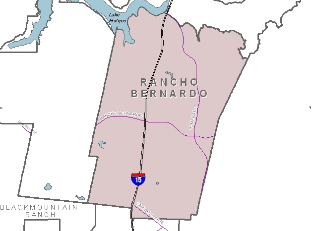
English: Map of Rancho Bernardo
|
| ⧼wm-license-information-date⧽ | |
| ⧼wm-license-information-source⧽ | City of San Diego website, http://www.sandiego.gov/neighborhoodmaps/central.shtml
Transferred from en.wikipedia to Commons by User:Quadell using CommonsHelper. |
| ⧼wm-license-information-author⧽ | City of San Diego |
| ⧼wm-license-information-permission⧽ (⧼wm-license-information-permission-reusing-text⧽) |
Image is in the public domain, as indicated by the disclaimer of the website of the City of San Diego, found here: http://www.sandiego.gov/directories/disclaimer.shtml An excerpt: Unless a copyright is indicated, information on the City of San Diego Web site is in the public domain and may be reproduced, published or otherwise used with the City of San Diego's permission. We request only that the City of San Diego be cited as the source of the information and that any photo credits, graphics or byline be similarly credited to the photographer, author or City of San Diego, as appropriate. |
ترخيص
قالب:Original upload log
قالب:Original description page
- 2007-03-13 02:58 PQMark 631×466× (90624 bytes) Map of [[Rancho Bernardo, San Diego, California]]. Downloaded from the City of San Diego website, http://www.sandiego.gov/planning/community/profiles/maps/maprbernardo.jpg on March 12, 2007
تاريخ الملف
اضغط على زمن/تاريخ لرؤية الملف كما بدا في هذا الزمن.
| زمن/تاريخ | صورة مصغرة | الأبعاد | مستخدم | تعليق | |
|---|---|---|---|---|---|
| حالي | ★ مراجعة معتمدة 06:54، 4 نوفمبر 2023 | | 631 × 466 (89 كيلوبايت) | Pastakhov (نقاش | مساهمات) | Upload https://upload.wikimedia.org/wikipedia/commons/8/8d/SanDiegoMapRanchoBernardo.jpg |
لا يمكنك استبدال هذا الملف.
وصلات
لا يوجد صفحات تصل لهذه الصورة.