ملف:Saint-Charles-Borromée Quebec location diagram.png
حجم هذه المعاينة: 696 × 600 بكسل. البعد الآخر: 870 × 750 بكسل.
الملف الأصلي (870 × 750 بكسل حجم الملف: 103 كيلوبايت، نوع MIME: image/png)
وصف قصير
| ⧼wm-license-information-description⧽ |
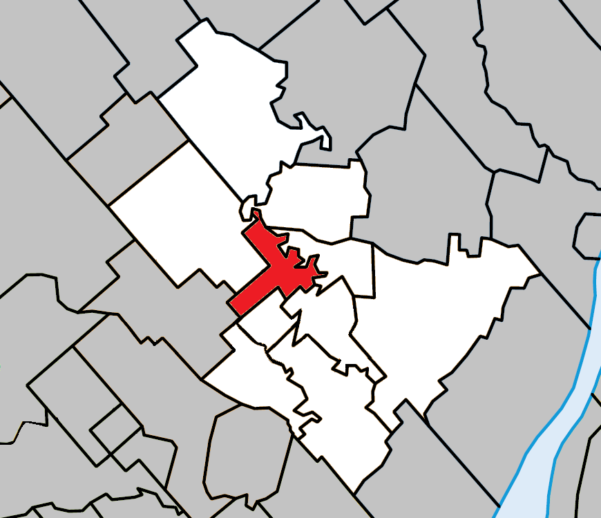
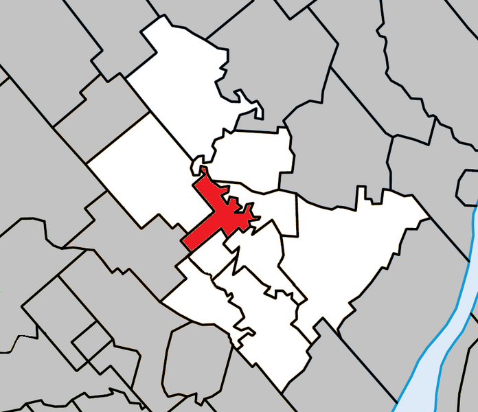
English: Location of Saint-Charles-Borromée, Quebec within Joliette Regional County Municipality.
|
| ⧼wm-license-information-date⧽ | 2013, {{time}} – invalid date format 21 (help) |
| ⧼wm-license-information-source⧽ | ⧼Wm-license-own-work⧽ |
| ⧼wm-license-information-author⧽ | Gordalmighty |
ترخيص
|
تاريخ الملف
اضغط على زمن/تاريخ لرؤية الملف كما بدا في هذا الزمن.
| زمن/تاريخ | صورة مصغرة | الأبعاد | مستخدم | تعليق | |
|---|---|---|---|---|---|
| حالي | ★ مراجعة معتمدة 16:47، 17 نوفمبر 2023 | | 870 × 750 (103 كيلوبايت) | Pastakhov (نقاش | مساهمات) | Upload https://upload.wikimedia.org/wikipedia/commons/0/0c/Saint-Charles-Borrom%C3%A9e_Quebec_location_diagram.png |
لا يمكنك استبدال هذا الملف.
وصلات
لا يوجد صفحات تصل لهذه الصورة.