ملف:Sahel forest near Kayes Mali.jpg
حجم هذه المعاينة: 800 × 600 بكسل. البعد الآخر: 1٬280 × 960 بكسل.
الملف الأصلي (1٬280 × 960 بكسل حجم الملف: 298 كيلوبايت، نوع MIME: image/jpeg)
وصف قصير
| ⧼wm-license-information-description⧽ |
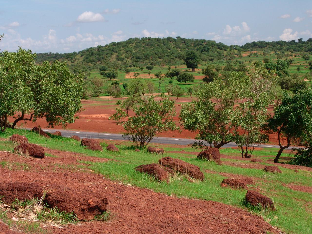
English: "Road Bamako-Kayes: Low rolling hills on the way to Kayes." The Sahelian forest, in the Sahel sub-Saharan savanna ecoregion. *Trees in foreground are Acacia, note the large Baobab tree in the rear center.
|
| ⧼wm-license-information-date⧽ | August-September 2006 |
| ⧼wm-license-information-source⧽ | http://www.nssl.noaa.gov/projects/pacs/web/NAMMA/photos/1-road-to-Kayes.htm |
| ⧼wm-license-information-author⧽ | NOAA, US Gov, Unidentified |
| ⧼wm-license-information-permission⧽ (⧼wm-license-information-permission-reusing-text⧽) |
PD Created by US Federal govt employee in the course of their duties |
ترخيص

|
تاريخ الملف
اضغط على زمن/تاريخ لرؤية الملف كما بدا في هذا الزمن.
| زمن/تاريخ | صورة مصغرة | الأبعاد | مستخدم | تعليق | |
|---|---|---|---|---|---|
| حالي | ★ مراجعة معتمدة 01:36، 14 أكتوبر 2023 | | 1٬280 × 960 (298 كيلوبايت) | Pastakhov (نقاش | مساهمات) | Upload https://upload.wikimedia.org/wikipedia/commons/7/72/Sahel_forest_near_Kayes_Mali.jpg |
لا يمكنك استبدال هذا الملف.
وصلات
لا يوجد صفحات تصل لهذه الصورة.