ملف:River Frome and weir - geograph.org.uk - 439352.jpg
لا توجد دقة أعلى متوفرة.
River_Frome_and_weir_-_geograph.org.uk_-_439352.jpg (640 × 477 بكسل حجم الملف: 131 كيلوبايت، نوع MIME: image/jpeg)
وصف قصير
| ⧼wm-license-information-description⧽ |
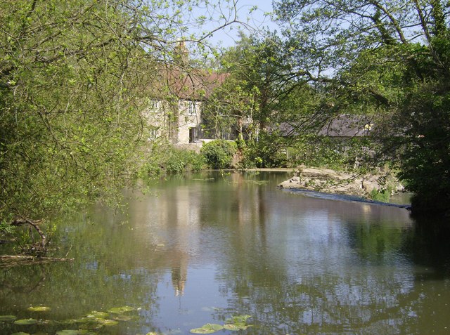
English: River Frome and weir A weir here, but almost certainly there would have been a mill stream running under the house.
|
| ⧼wm-license-information-date⧽ | 2007 |
| ⧼wm-license-information-source⧽ | From geograph.org.uk |
| ⧼wm-license-information-author⧽ | Graham Horn |
| ⧼wm-license-cc-attribution⧽ (قالب:I18n/Credit line) |
Graham Horn / River Frome and weir / |
51°15′45″N 2°18′21″W / 51.26248°N 2.3059°W قالب:Object location
_heading:45)
ترخيص
تاريخ الملف
اضغط على زمن/تاريخ لرؤية الملف كما بدا في هذا الزمن.
| زمن/تاريخ | صورة مصغرة | الأبعاد | مستخدم | تعليق | |
|---|---|---|---|---|---|
| حالي | ★ مراجعة معتمدة 06:38، 20 أكتوبر 2023 | | 640 × 477 (131 كيلوبايت) | Pastakhov (نقاش | مساهمات) | Upload https://upload.wikimedia.org/wikipedia/commons/c/ce/River_Frome_and_weir_-_geograph.org.uk_-_439352.jpg |
لا يمكنك استبدال هذا الملف.
وصلات
لا يوجد صفحات تصل لهذه الصورة.