ملف:Plattsburgh city border map.gif
لا توجد دقة أعلى متوفرة.
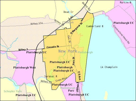
Plattsburgh_city_border_map.gif (575 × 425 بكسل حجم الملف: 32 كيلوبايت، نوع MIME: image/gif)
وصف قصير
| ⧼wm-license-information-description⧽ |
English: Map of Plattsburgh from U.S. Census website.
|
| ⧼wm-license-information-date⧽ | |
| ⧼wm-license-information-source⧽ | |
| ⧼wm-license-information-author⧽ |
ترخيص
قالب:Original upload log
- 2007-11-26 19:24 Fife Club 575×425× (32778 bytes) Map of [[Plattsburgh (city), New York]] from U.S. Census website.
تاريخ الملف
اضغط على زمن/تاريخ لرؤية الملف كما بدا في هذا الزمن.
| زمن/تاريخ | صورة مصغرة | الأبعاد | مستخدم | تعليق | |
|---|---|---|---|---|---|
| حالي | ★ مراجعة معتمدة 21:07، 11 نوفمبر 2023 | | 575 × 425 (32 كيلوبايت) | Pastakhov (نقاش | مساهمات) | Upload https://upload.wikimedia.org/wikipedia/commons/d/df/Plattsburgh_city_border_map.gif |
لا يمكنك استبدال هذا الملف.
وصلات
لا يوجد صفحات تصل لهذه الصورة.