ملف:Norway municipalities 2012 blank.svg

حجم معاينة PNG لذلك الملف ذي الامتداد SVG: 423 × 599 بكسل. البعد الآخر: 1٬447 × 2٬048 بكسل.
الملف الأصلي (ملف SVG، أبعاده 2٬105 × 2٬980 بكسل، حجم الملف: 1٫88 ميجابايت)
| ⧼wm-license-information-description⧽ |
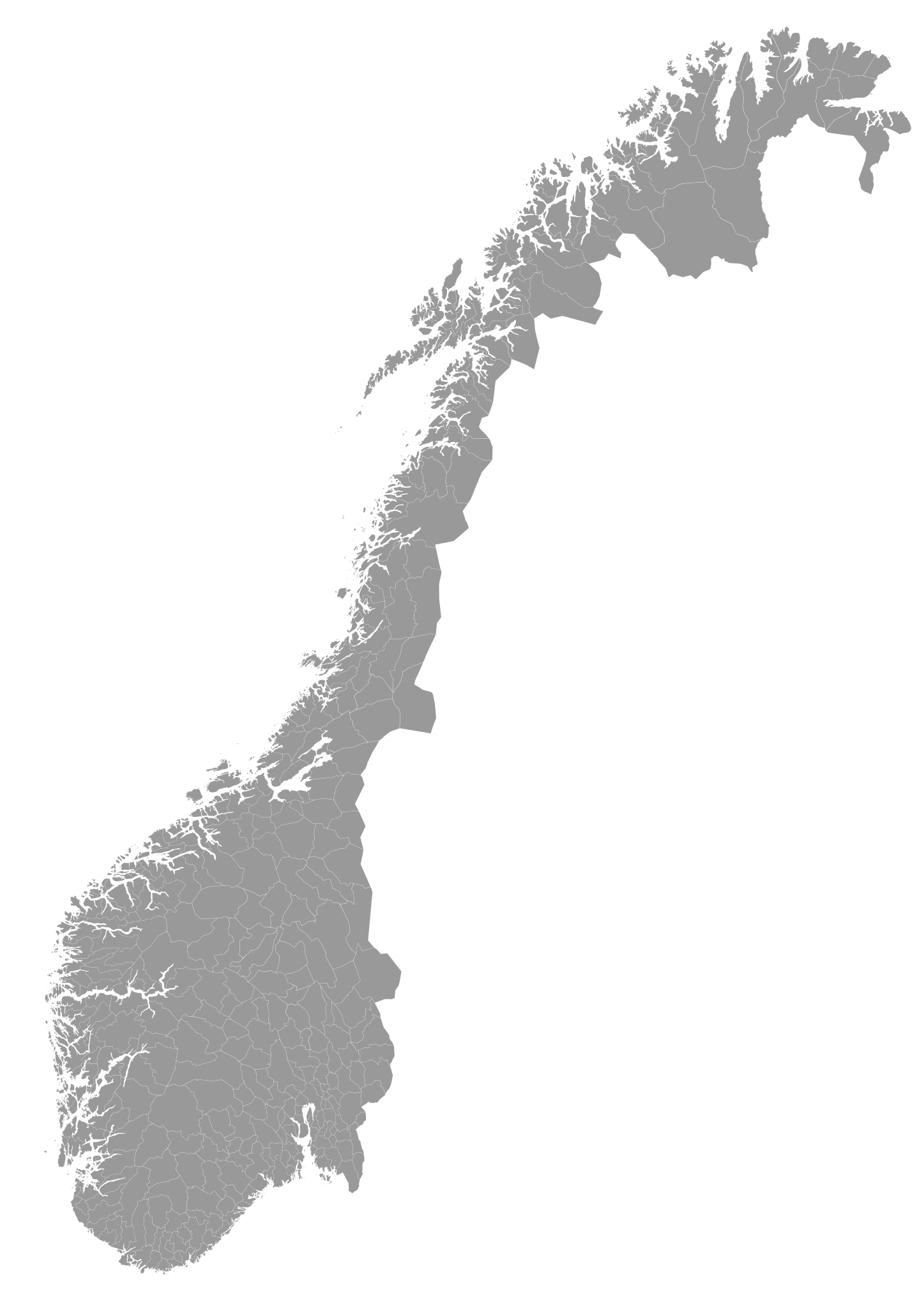
English: A blank map of the municipalities of Norway (2012). Made with QGIS and Inkscape from the following data sources: Coastline from VMAP0 (PD). Administrative boundaries from OpenStreetMap (CC-BY-SA-2.0). style="background: #ffdddd" class="table-no" | Et blankt kart over Norges kommuner (2012). Laget med QGIS og Inkscape fra følgende datakilder: Kystlinje fra VMAP0 (PD). Kommunegrenser fra OpenStreetMap (CC-BY-SA-2.0). Hver kommune har ISO 3166-2:NO-koden i id-feltet.
|
| ⧼wm-license-information-date⧽ | 2011-04-09 20:14 (UTC) |
| ⧼wm-license-information-source⧽ | |
| ⧼wm-license-information-author⧽ |
|
قالب:Original upload log
This image is a derivative work of the following images:
- File:Norway_municipalities_2010_blank.svg licensed with Cc-by-sa-2.0
- 2011-01-13T21:16:07Z Røed 2105x2980 (1976078 Bytes) Småplukk, var noen navn som var ført opp dobbelt på bekostning av andre
- 2011-01-13T15:20:50Z Røed 2105x2980 (1976077 Bytes) La inn fylkesnavn i parantes på kommuner som har samme navn.
- 2011-01-12T00:56:03Z Røed 2105x2980 (1975939 Bytes) Some names missed and rearranged the IDs so that they are sorted by number, also removed some unused code.
- 2011-01-11T22:22:54Z Kåre-Olav 2105x2980 (1988078 Bytes) Added names.
- 2010-03-03T21:55:10Z Kåre-Olav 2105x2980 (1957722 Bytes) {{Information |Description={{en|1=A blank map of the municipalities of Norway (2010). Made with [[w:QGIS|QGIS]] and [[w:Inkscape|Inkscape]] from the following data sources: Coastline from [[w:VMAP0|VMAP0]] (PD). Administrativ
تاريخ الملف
اضغط على زمن/تاريخ لرؤية الملف كما بدا في هذا الزمن.
| زمن/تاريخ | صورة مصغرة | الأبعاد | مستخدم | تعليق | |
|---|---|---|---|---|---|
| حالي | ★ مراجعة معتمدة 12:19، 6 نوفمبر 2023 | | 2٬105 × 2٬980 (1٫88 ميجابايت) | Pastakhov (نقاش | مساهمات) | Upload https://upload.wikimedia.org/wikipedia/commons/2/21/Norway_municipalities_2012_blank.svg |
لا يمكنك استبدال هذا الملف.
وصلات
لا يوجد صفحات تصل لهذه الصورة.