ملف:Newport UK location map.svg

حجم معاينة PNG لذلك الملف ذي الامتداد SVG: 693 × 600 بكسل. البعد الآخر: 2٬367 × 2٬048 بكسل.
الملف الأصلي (ملف SVG، أبعاده 1٬425 × 1٬233 بكسل، حجم الملف: 577 كيلوبايت)
| ⧼wm-license-information-description⧽ |
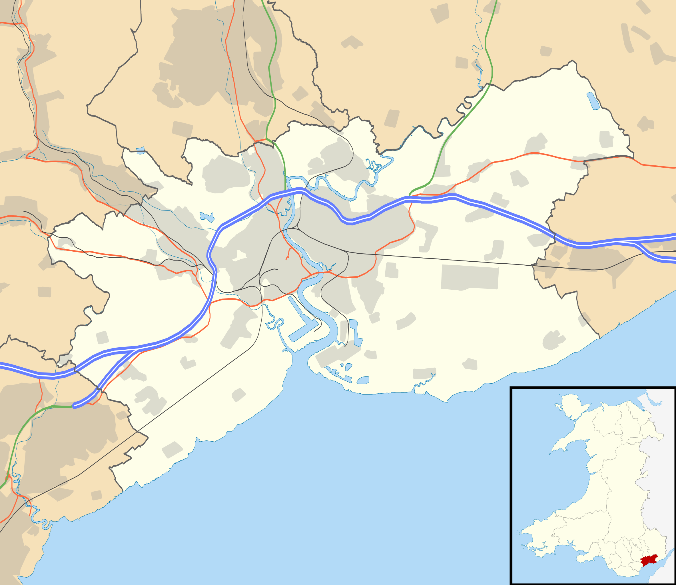
Blank map of Newport, UK with the following information shown:
Equirectangular map projection on WGS 84 datum, with N/S stretched 160% Geographic limits:
|
||
| ⧼wm-license-information-date⧽ | 2010 | ||
| ⧼wm-license-information-source⧽ | Ordnance Survey OpenData.
|
||
| ⧼wm-license-information-author⧽ | Nilfanion, created using Ordnance Survey data | ||
| ⧼wm-license-information-permission⧽ (⧼wm-license-information-permission-reusing-text⧽) |
|
||
| ⧼wm-license-information-other-versions⧽ |
File:Newport UK map.svg - Blank map |
تاريخ الملف
اضغط على زمن/تاريخ لرؤية الملف كما بدا في هذا الزمن.
| زمن/تاريخ | صورة مصغرة | الأبعاد | مستخدم | تعليق | |
|---|---|---|---|---|---|
| حالي | ★ مراجعة معتمدة 03:11، 9 أكتوبر 2023 | | 1٬425 × 1٬233 (577 كيلوبايت) | Pastakhov (نقاش | مساهمات) | Upload https://upload.wikimedia.org/wikipedia/commons/1/1f/Newport_UK_location_map.svg |
لا يمكنك استبدال هذا الملف.
وصلات
الصفحات التالية تحتوي على وصلة لهذه الصورة: