ملف:Neubaugebiet Rosenbühl HOF00174 RAW-Export.png

حجم هذه المعاينة: 800 × 363 بكسل. البعدان الآخران: 2٬560 × 1٬162 بكسل | 7٬208 × 3٬272 بكسل.
الملف الأصلي (7٬208 × 3٬272 بكسل حجم الملف: 25٫47 ميجابايت، نوع MIME: image/png)
وصف قصير
| ⧼wm-license-information-description⧽ |
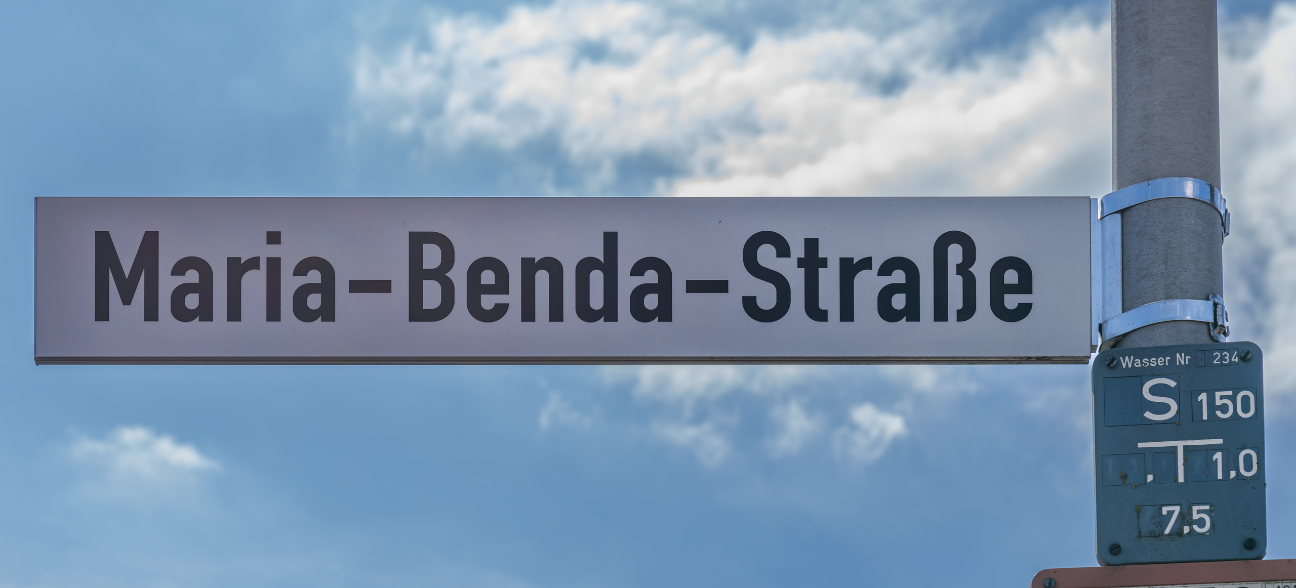
Deutsch: Ansicht des Komplexes des Neubaugebiets Rosenbühl, das etwa seit 2020 bis in 2023 hinein aufgebaut wird. Das Neubaugebiet liegt etwa zwischen dem Johann-Christian-Reinhart-Gymnasium Hof und dem Gut Geigen im Nordwesten. Zum Neubaugebiet zählen die Maria-Benda-Straße im Westen (sie ist auch ein verkehrsberuhigter Bereich), die Mendelssohn-Bartholdy-Straße, die Fanny-Hensel-Straße und die Emilie-Mayer-Straße im Osten. Hier sieht man das Straßennamensschild der Maria-Benda-Straße.
English: View of the complex of the Rosenbühl new development area, which has been under construction since about 2020 and into 2023. The new development area is located approximately between Johann-Christian-Reinhart-Gymnasium Hof and Gut Geigen in the northwest. The new development area includes Maria-Benda-Straße in the west (it is also a traffic-calmed area), Mendelssohn-Bartholdy-Straße, Fanny-Hensel-Straße and Emilie-Mayer-Straße in the east. Here you can see the street name sign of Maria-Benda-Straße.
|
| ⧼wm-license-information-date⧽ | 2023 |
| ⧼wm-license-information-source⧽ | ⧼Wm-license-own-work⧽ |
| ⧼wm-license-information-author⧽ | PantheraLeo1359531 |
50°18′29″N 11°53′32″E / 50.308088°N 11.892103°E
ترخيص
تاريخ الملف
اضغط على زمن/تاريخ لرؤية الملف كما بدا في هذا الزمن.
| زمن/تاريخ | صورة مصغرة | الأبعاد | مستخدم | تعليق | |
|---|---|---|---|---|---|
| حالي | ★ مراجعة معتمدة 11:41، 12 يناير 2024 | | 7٬208 × 3٬272 (25٫47 ميجابايت) | Pastakhov (نقاش | مساهمات) | Upload https://upload.wikimedia.org/wikipedia/commons/7/70/Neubaugebiet_Rosenb%C3%BChl_HOF00174_RAW-Export.png |
لا يمكنك استبدال هذا الملف.
وصلات
لا يوجد صفحات تصل لهذه الصورة.