ملف:Naturschutzgebiet Giebelmoor 06.jpg
حجم هذه المعاينة: 800 × 533 بكسل. البعدان الآخران: 2٬560 × 1٬707 بكسل | 5٬184 × 3٬456 بكسل.
الملف الأصلي (5٬184 × 3٬456 بكسل حجم الملف: 7٫97 ميجابايت، نوع MIME: image/jpeg)
وصف قصير
| ⧼wm-license-information-description⧽ |
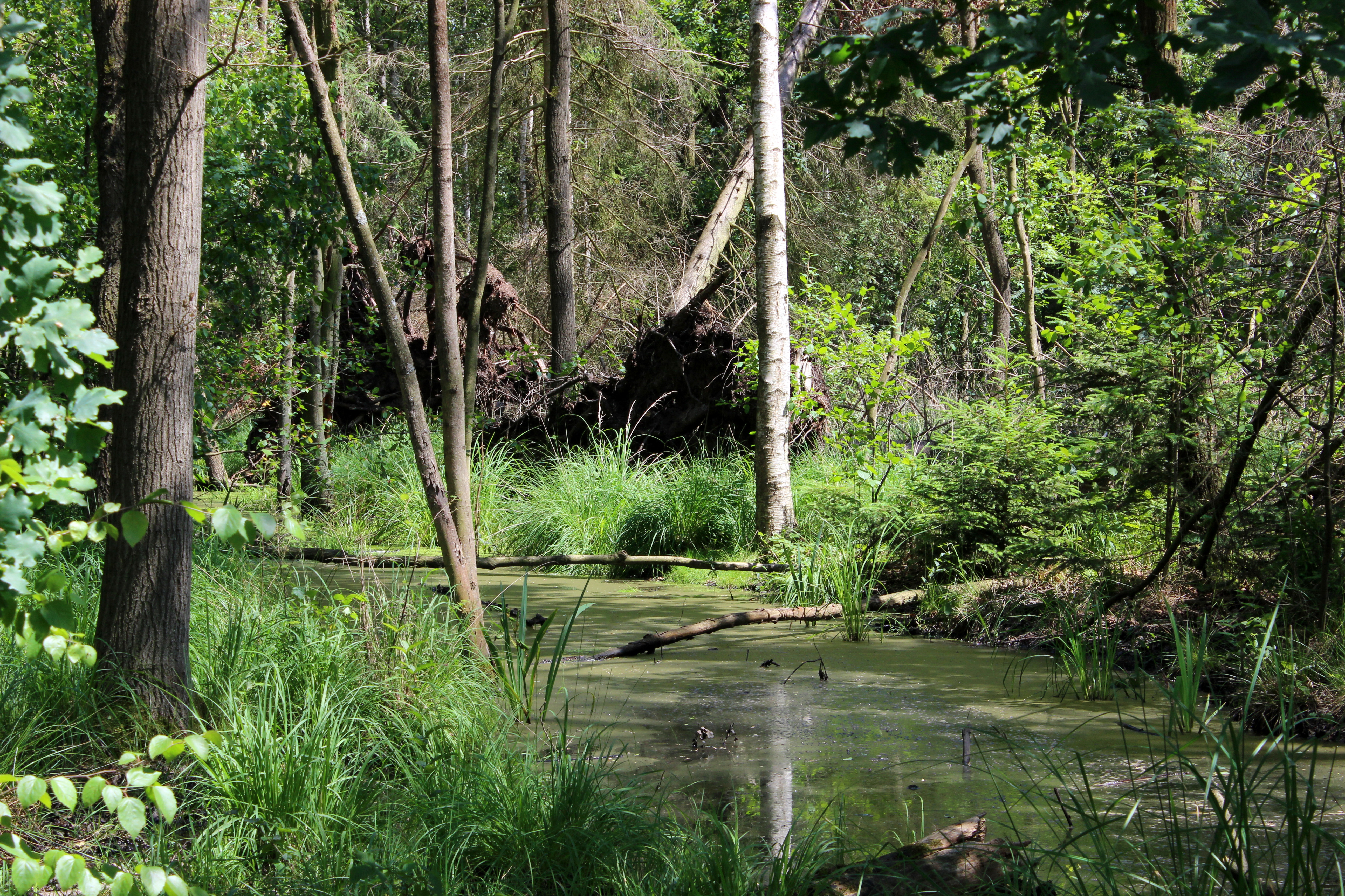
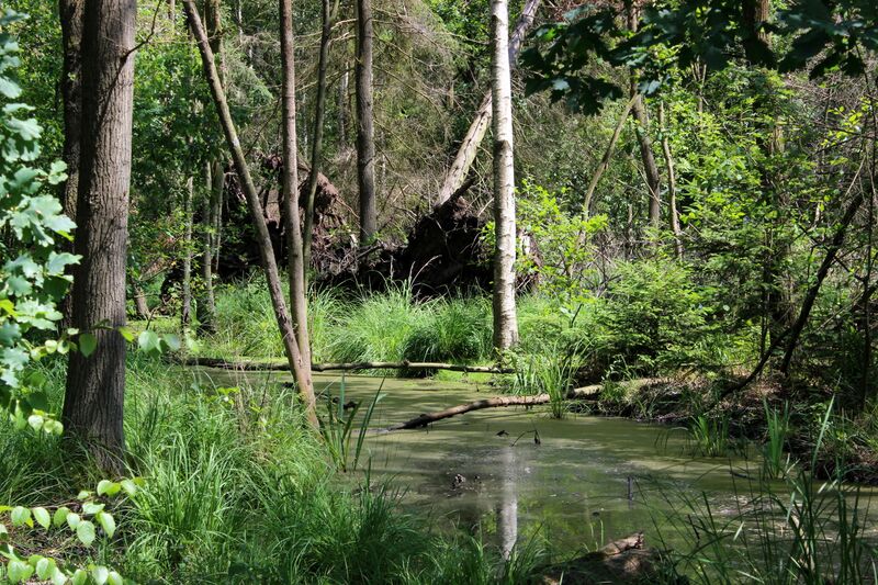
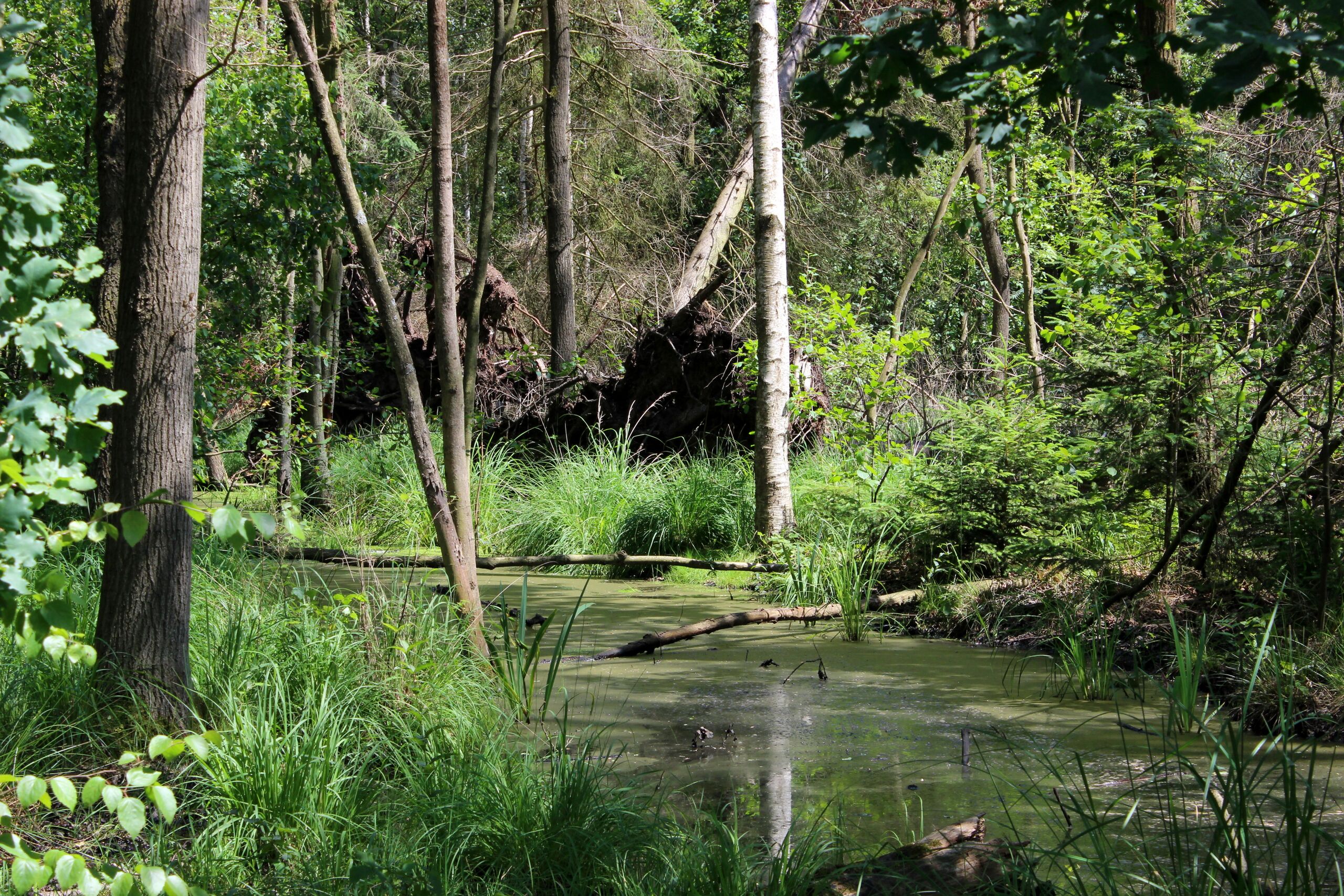
Deutsch: Naturschutzgebiet Giebelmoor: Trotz der Entwässerungsgräben gibt es im Moor vernässte Gebiete im Wald. Das Naturschutzgebiet ist ein Teil des FFH-Gebietes Drömling.
|
| ⧼wm-license-information-date⧽ | 2016, {{time}} – invalid date format 08 (help) |
| ⧼wm-license-information-source⧽ | ⧼Wm-license-own-work⧽ |
| ⧼wm-license-information-author⧽ | Puusterke |
52°31′08″N 10°56′29″E / 52.518832°N 10.941385°E
ترخيص
|
تاريخ الملف
اضغط على زمن/تاريخ لرؤية الملف كما بدا في هذا الزمن.
| زمن/تاريخ | صورة مصغرة | الأبعاد | مستخدم | تعليق | |
|---|---|---|---|---|---|
| حالي | ★ مراجعة معتمدة 22:15، 7 ديسمبر 2023 | | 5٬184 × 3٬456 (7٫97 ميجابايت) | Pastakhov (نقاش | مساهمات) | Upload https://upload.wikimedia.org/wikipedia/commons/0/0d/Naturschutzgebiet_Giebelmoor_06.jpg |
لا يمكنك استبدال هذا الملف.
وصلات
لا يوجد صفحات تصل لهذه الصورة.