ملف:Molendinar Burn outfall.jpg
حجم هذه المعاينة: 800 × 406 بكسل. البعد الآخر: 1٬431 × 726 بكسل.
الملف الأصلي (1٬431 × 726 بكسل حجم الملف: 419 كيلوبايت، نوع MIME: image/jpeg)
وصف قصير
| ⧼wm-license-information-description⧽ |
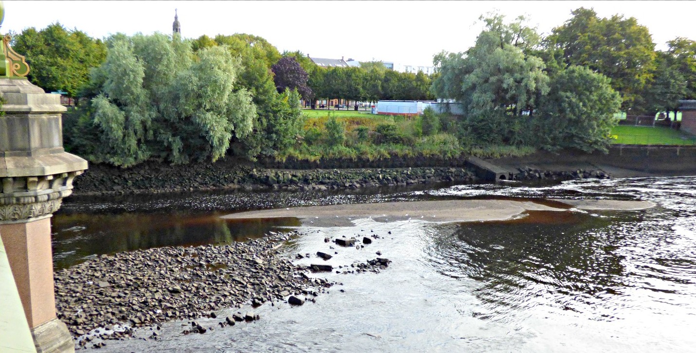
English: The concrete pipe to the right of centre of the photo is reputedly the outfall of the Molendinar Burn.
|
| ⧼wm-license-information-date⧽ | 2020 |
| ⧼wm-license-information-source⧽ | ⧼Wm-license-own-work⧽ |
| ⧼wm-license-information-author⧽ | Tam Nugent |
55°51′07″N 4°14′46″W / 55.852°N 4.246°W On the north bank, between the Tidal Weir and Albert Bridge
ترخيص
|
تاريخ الملف
اضغط على زمن/تاريخ لرؤية الملف كما بدا في هذا الزمن.
| زمن/تاريخ | صورة مصغرة | الأبعاد | مستخدم | تعليق | |
|---|---|---|---|---|---|
| حالي | ★ مراجعة معتمدة 15:33، 8 نوفمبر 2023 | | 1٬431 × 726 (419 كيلوبايت) | Pastakhov (نقاش | مساهمات) | Upload https://upload.wikimedia.org/wikipedia/commons/c/c2/Molendinar_Burn_outfall.jpg |
لا يمكنك استبدال هذا الملف.
وصلات
لا يوجد صفحات تصل لهذه الصورة.