ملف:Map of Nazareth, Northampton County, Pennsylvania Highlighted.png
Map_of_Nazareth,_Northampton_County,_Pennsylvania_Highlighted.png (464 × 477 بكسل حجم الملف: 29 كيلوبايت، نوع MIME: image/png)
وصف قصير
| ⧼wm-license-information-description⧽ |
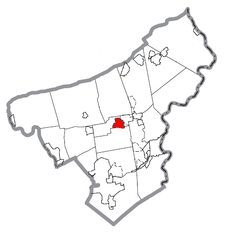
A map of Northampton County showing Nazareth, Pennsylvania highlighted on the map. |
| ⧼wm-license-information-date⧽ | 2007 |
| ⧼wm-license-information-source⧽ | Source image taken from the United States Census Bureau’s website pa_cosub.pdf. Image was modified by ”Country” Bushrod Washington. |
| ⧼wm-license-information-author⧽ | (c) 2007 "Country" Bushrod Washington (from U.S. Census Bureau source) |
| ⧼wm-license-information-permission⧽ (⧼wm-license-information-permission-reusing-text⧽) |
A United States Census Bureau/government work is in the public domain, however, my modifications are licensed as follows: You may not use this image on your own web site or anywhere else unless you release this image and any derivative works by following the terms of one of the following licenses. Any other use will be considered a breach of copyright. If you have not read the terms of these licenses or do not understand them, then do not use this image. |
ترخيص
|

تاريخ الملف
اضغط على زمن/تاريخ لرؤية الملف كما بدا في هذا الزمن.
| زمن/تاريخ | صورة مصغرة | الأبعاد | مستخدم | تعليق | |
|---|---|---|---|---|---|
| حالي | ★ مراجعة معتمدة 23:58، 10 نوفمبر 2023 | | 464 × 477 (29 كيلوبايت) | Pastakhov (نقاش | مساهمات) | Upload https://upload.wikimedia.org/wikipedia/commons/2/28/Map_of_Nazareth%2C_Northampton_County%2C_Pennsylvania_Highlighted.png |
لا يمكنك استبدال هذا الملف.
وصلات
لا يوجد صفحات تصل لهذه الصورة.