ملف:Map hamburg altona 1910.jpg
حجم هذه المعاينة: 789 × 600 بكسل. البعد الآخر: 2٬605 × 1٬980 بكسل.
الملف الأصلي (2٬605 × 1٬980 بكسل حجم الملف: 1٫62 ميجابايت، نوع MIME: image/jpeg)
وصف قصير
| ⧼wm-license-information-description⧽ |
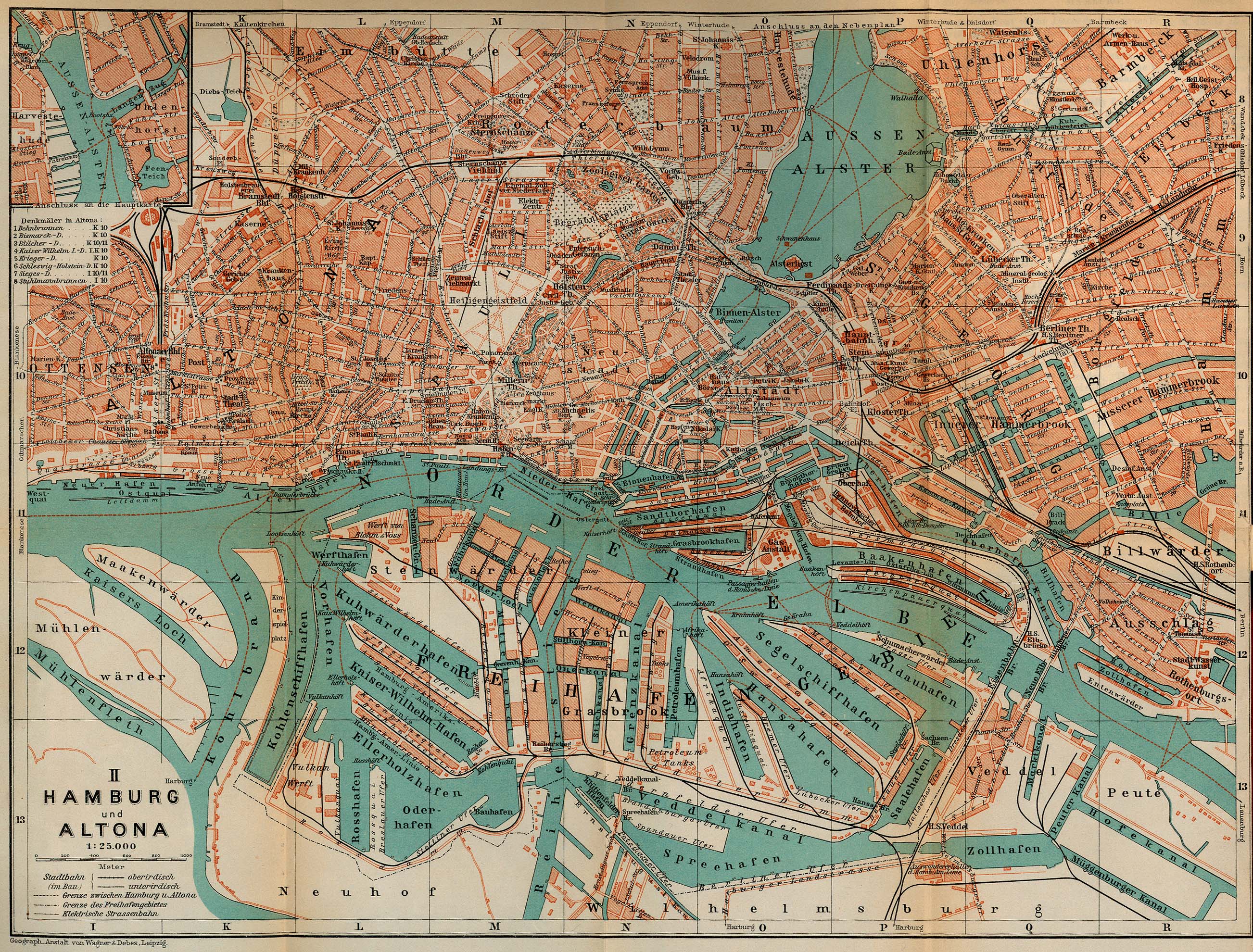
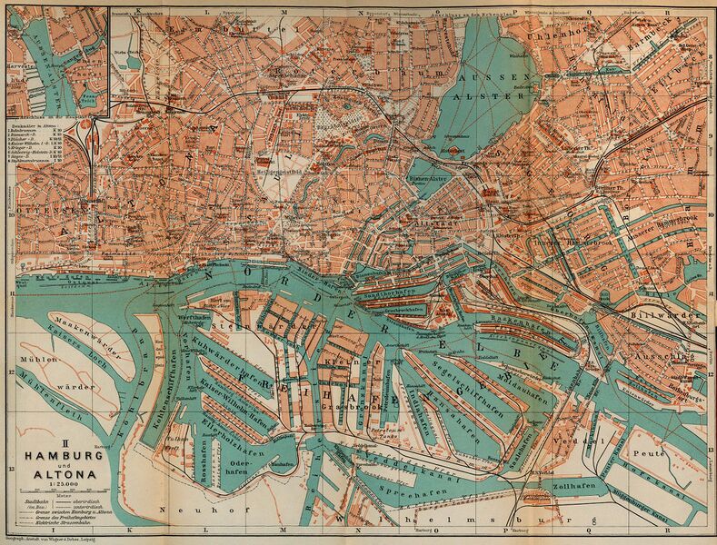
Map of Hamburg and Altona, Germany, 1910 |
| ⧼wm-license-information-date⧽ | 1910 |
| ⧼wm-license-information-source⧽ | http://www.lib.utexas.edu/maps/historical/baedeker_n_germany_1910/hamburg_altona_1910.jpg, "Northern Germany as far as the Bavarian and Austrian Frontiers; Handbook for Travellers" by Karl Baedeker. Fifteenth Revised Edition. Leipzig, Karl Baedeker; New York, Charles Scribner's Sons 1910. "Courtesy of the University of Texas Libraries, The University of Texas at Austin." http://www.lib.utexas.edu/maps/map_sites/hist_sites.html |
| ⧼wm-license-information-author⧽ | |
| ⧼wm-license-information-other-versions⧽ |
ترخيص
تاريخ الملف
اضغط على زمن/تاريخ لرؤية الملف كما بدا في هذا الزمن.
| زمن/تاريخ | صورة مصغرة | الأبعاد | مستخدم | تعليق | |
|---|---|---|---|---|---|
| حالي | ★ مراجعة معتمدة 06:41، 14 أكتوبر 2023 | | 2٬605 × 1٬980 (1٫62 ميجابايت) | Pastakhov (نقاش | مساهمات) | Upload https://upload.wikimedia.org/wikipedia/commons/6/62/Map_hamburg_altona_1910.jpg |
لا يمكنك استبدال هذا الملف.
وصلات
لا يوجد صفحات تصل لهذه الصورة.