ملف:Map NL - De Bilt - Groenekan.png
لا توجد دقة أعلى متوفرة.
Map_NL_-_De_Bilt_-_Groenekan.png (800 × 600 بكسل حجم الملف: 281 كيلوبايت، نوع MIME: image/png)
وصف قصير
| ⧼wm-license-information-description⧽ |
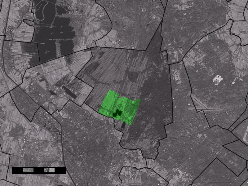
Map of Groenekan, municipality of De Bilt, the Netherlands.
|
| ⧼wm-license-information-date⧽ | قالب:Original upload date |
| ⧼wm-license-information-source⧽ | No machine-readable source provided. Own work assumed (based on copyright claims). |
| ⧼wm-license-information-author⧽ | No machine-readable author provided. Eugene van der Pijll assumed (based on copyright claims). |
ترخيص
|

تاريخ الملف
اضغط على زمن/تاريخ لرؤية الملف كما بدا في هذا الزمن.
| زمن/تاريخ | صورة مصغرة | الأبعاد | مستخدم | تعليق | |
|---|---|---|---|---|---|
| حالي | ★ مراجعة معتمدة 21:03، 5 أكتوبر 2023 | | 800 × 600 (281 كيلوبايت) | Pastakhov (نقاش | مساهمات) | Upload https://upload.wikimedia.org/wikipedia/commons/1/14/Map_NL_-_De_Bilt_-_Groenekan.png |
لا يمكنك استبدال هذا الملف.
وصلات
لا يوجد صفحات تصل لهذه الصورة.