ملف:Manger on Levin Down - geograph.org.uk - 1745708.jpg
لا توجد دقة أعلى متوفرة.
Manger_on_Levin_Down_-_geograph.org.uk_-_1745708.jpg (800 × 600 بكسل حجم الملف: 92 كيلوبايت، نوع MIME: image/jpeg)
وصف قصير
| ⧼wm-license-information-description⧽ |
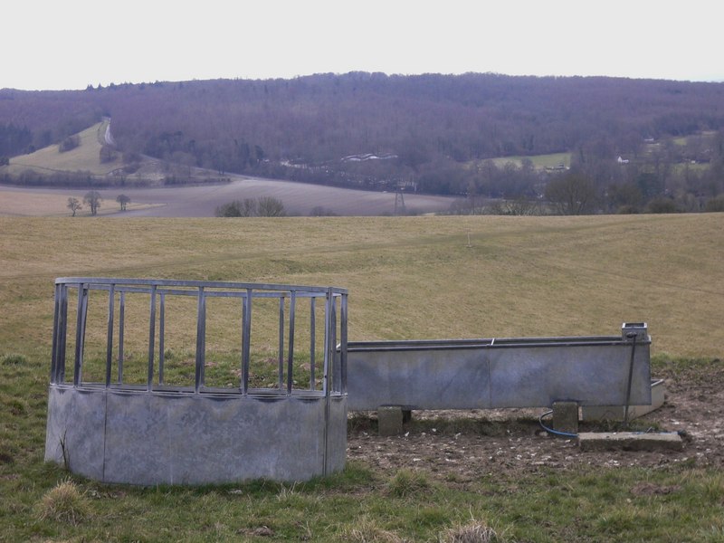
English: Manger on Levin Down The manger and trough were not in use on this day as there were no livestock on the down. The village of Singleton is hidden in the valley and Town Lane can be seen climbing beside Singleton Plantation.
|
| ⧼wm-license-information-date⧽ | 2010 |
| ⧼wm-license-information-source⧽ | From geograph.org.uk |
| ⧼wm-license-information-author⧽ | Shazz |
| ⧼wm-license-cc-attribution⧽ (قالب:I18n/Credit line) |
Shazz / Manger on Levin Down / |
50°54′56″N 0°44′53″W / 50.91564°N 0.7481°W قالب:Object location
_heading:247)
ترخيص
تاريخ الملف
اضغط على زمن/تاريخ لرؤية الملف كما بدا في هذا الزمن.
| زمن/تاريخ | صورة مصغرة | الأبعاد | مستخدم | تعليق | |
|---|---|---|---|---|---|
| حالي | ★ مراجعة معتمدة 16:33، 9 نوفمبر 2023 | | 800 × 600 (92 كيلوبايت) | Pastakhov (نقاش | مساهمات) | Upload https://upload.wikimedia.org/wikipedia/commons/5/51/Manger_on_Levin_Down_-_geograph.org.uk_-_1745708.jpg |
لا يمكنك استبدال هذا الملف.
وصلات
لا يوجد صفحات تصل لهذه الصورة.