ملف:Main Road, Langbank - geograph.org.uk - 607456.jpg
لا توجد دقة أعلى متوفرة.
Main_Road,_Langbank_-_geograph.org.uk_-_607456.jpg (640 × 480 بكسل حجم الملف: 87 كيلوبايت، نوع MIME: image/jpeg)
وصف قصير
| ⧼wm-license-information-description⧽ |
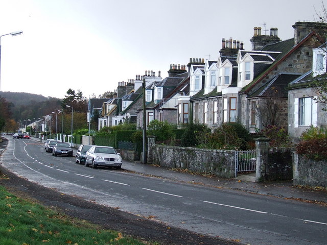
English: Main Road, Langbank Main Road bordered the River Clyde until the A8 was re-aligned on reclaimed land in the mid 1970s. As a result, most of the houses are on the south side of the road.
|
| ⧼wm-license-information-date⧽ | 2007 |
| ⧼wm-license-information-source⧽ | From geograph.org.uk |
| ⧼wm-license-information-author⧽ | Thomas Nugent |
| ⧼wm-license-cc-attribution⧽ (قالب:I18n/Credit line) |
Thomas Nugent / Main Road, Langbank / |
55°55′35″N 4°35′31″W / 55.92649°N 4.5919°W قالب:Object location
_heading:135)
ترخيص
تاريخ الملف
اضغط على زمن/تاريخ لرؤية الملف كما بدا في هذا الزمن.
| زمن/تاريخ | صورة مصغرة | الأبعاد | مستخدم | تعليق | |
|---|---|---|---|---|---|
| حالي | ★ مراجعة معتمدة 13:09، 4 نوفمبر 2023 | | 640 × 480 (87 كيلوبايت) | Pastakhov (نقاش | مساهمات) | Upload https://upload.wikimedia.org/wikipedia/commons/e/eb/Main_Road%2C_Langbank_-_geograph.org.uk_-_607456.jpg |
لا يمكنك استبدال هذا الملف.
وصلات
لا يوجد صفحات تصل لهذه الصورة.