ملف:Location of Huangyuan within Qinghai (China).png

حجم هذه المعاينة: 800 × 564 بكسل. البعد الآخر: 880 × 620 بكسل.
الملف الأصلي (880 × 620 بكسل حجم الملف: 89 كيلوبايت، نوع MIME: image/png)
وصف قصير
| ⧼wm-license-information-description⧽ |
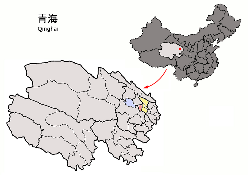
Location of Huangyuan County (pink) and Xining Prefecture (yellow) within Qinghai province of China Map drawn in september 2007 using various sources, mainly :
(the limits of some county-level subdivisions may not be accurate) |
| ⧼wm-license-information-date⧽ | 2007 |
| ⧼wm-license-information-source⧽ | ⧼Wm-license-own-work⧽ |
| ⧼wm-license-information-author⧽ | Croquant |
ترخيص
تاريخ الملف
اضغط على زمن/تاريخ لرؤية الملف كما بدا في هذا الزمن.
| زمن/تاريخ | صورة مصغرة | الأبعاد | مستخدم | تعليق | |
|---|---|---|---|---|---|
| حالي | ★ مراجعة معتمدة 03:07، 11 نوفمبر 2023 | | 880 × 620 (89 كيلوبايت) | Pastakhov (نقاش | مساهمات) | Upload https://upload.wikimedia.org/wikipedia/commons/8/8d/Location_of_Huangyuan_within_Qinghai_%28China%29.png |
لا يمكنك استبدال هذا الملف.
وصلات
لا يوجد صفحات تصل لهذه الصورة.
.png&oldid=3459939)