ملف:Location The Shire 3019 TA.svg

حجم معاينة PNG لذلك الملف ذي الامتداد SVG: 635 × 599 بكسل. البعد الآخر: 2٬171 × 2٬048 بكسل.
الملف الأصلي (ملف SVG، أبعاده 635 × 599 بكسل، حجم الملف: 276 كيلوبايت)
وصف قصير
قالب:Igen
| ⧼wm-license-information-description⧽ |
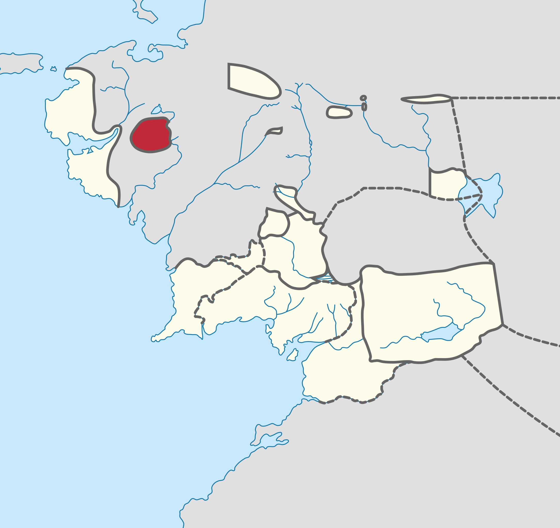
Español: En rojo, el territorio de La Comarca (nótese que muestra la Frontera del Oeste, que no fue integrada formalmente hasta 32 C.E.)
English: In red, the territory of the Shire (note that it includes the Westmarch, which was not formally integrated until 32 F.O.)
|
| ⧼wm-license-information-date⧽ | 2019 |
| ⧼wm-license-information-source⧽ | ⧼Wm-license-own-work⧽ |
| ⧼wm-license-information-author⧽ | James2813 |
ترخيص
|
تاريخ الملف
اضغط على زمن/تاريخ لرؤية الملف كما بدا في هذا الزمن.
| زمن/تاريخ | صورة مصغرة | الأبعاد | مستخدم | تعليق | |
|---|---|---|---|---|---|
| حالي | ★ مراجعة معتمدة 05:01، 23 نوفمبر 2023 | | 635 × 599 (276 كيلوبايت) | Pastakhov (نقاش | مساهمات) | Upload https://upload.wikimedia.org/wikipedia/commons/5/54/Location_The_Shire_3019_TA.svg |
لا يمكنك استبدال هذا الملف.
وصلات
لا يوجد صفحات تصل لهذه الصورة.