ملف:Local information point, Sconser - geograph.org.uk - 1410011.jpg
لا توجد دقة أعلى متوفرة.
Local_information_point,_Sconser_-_geograph.org.uk_-_1410011.jpg (640 × 480 بكسل حجم الملف: 109 كيلوبايت، نوع MIME: image/jpeg)
وصف قصير
| ⧼wm-license-information-description⧽ |
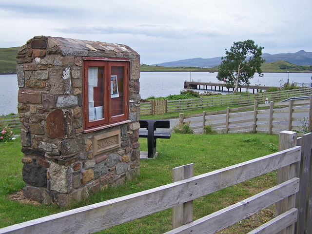
English: Local information point, Sconser A substantial stone built display cabinet close to the A87 in Sconser contains some faded local notices.
The water beyond is Loch Sligachan.
|
| ⧼wm-license-information-date⧽ | 2009 |
| ⧼wm-license-information-source⧽ | From geograph.org.uk |
| ⧼wm-license-information-author⧽ | Richard Dorrell |
| ⧼wm-license-cc-attribution⧽ (قالب:I18n/Credit line) |
Richard Dorrell / Local information point, Sconser / |
57°18′46″N 6°06′42″W / 57.31288°N 6.1118°W قالب:Object location
_heading:22)
ترخيص
تاريخ الملف
اضغط على زمن/تاريخ لرؤية الملف كما بدا في هذا الزمن.
| زمن/تاريخ | صورة مصغرة | الأبعاد | مستخدم | تعليق | |
|---|---|---|---|---|---|
| حالي | ★ مراجعة معتمدة 08:23، 18 نوفمبر 2023 | | 640 × 480 (109 كيلوبايت) | Pastakhov (نقاش | مساهمات) | Upload https://upload.wikimedia.org/wikipedia/commons/8/8d/Local_information_point%2C_Sconser_-_geograph.org.uk_-_1410011.jpg |
لا يمكنك استبدال هذا الملف.
وصلات
لا يوجد صفحات تصل لهذه الصورة.