ملف:Llanferres o Barc Gwledig Cyfarthfa (Loggerheads Country Park), Sir Ddinbych (Denbighshire), Cymru (Wales) 42.png

حجم هذه المعاينة: 800 × 450 بكسل. البعدان الآخران: 2٬560 × 1٬440 بكسل | 3٬840 × 2٬160 بكسل.
الملف الأصلي (3٬840 × 2٬160 بكسل حجم الملف: 9٫62 ميجابايت، نوع MIME: image/png)
وصف قصير
| ⧼wm-license-information-description⧽ |
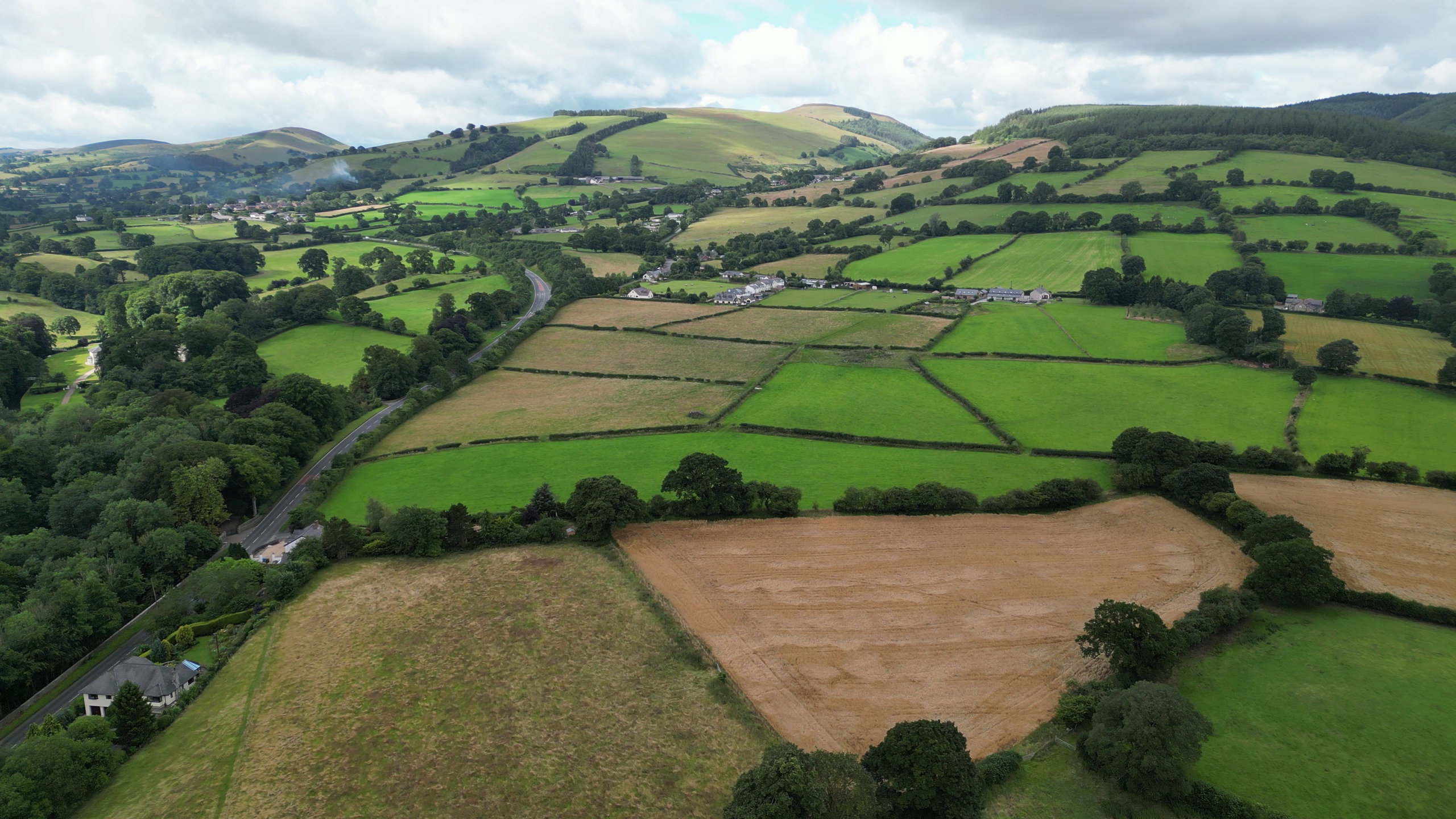
English: Loggerheads is a village in Denbighshire, Wales on the River Alyn, a tributary of the River Dee.
It is the location of Loggerheads Country Park which follows the course of the River Alyn through karstic limestone countryside including the sites of old lead mines and mills. There is a working flour mill on site. قالب:Wiki Loves Earth 2023 special nomination
|
| ⧼wm-license-information-date⧽ | 2023, {{time}} – invalid date format 37 (help) |
| ⧼wm-license-information-source⧽ | ⧼Wm-license-own-work⧽ |
| ⧼wm-license-information-author⧽ | Llywelyn2000 |
53°09′15″N 3°12′51″W / 53.1543°N 3.2142°W
,_Sir_Ddinbych_(Denbighshire),_Cymru_(Wales)_42.png¶ms=53.1543_N_3.2142_W_)
ترخيص
|
تاريخ الملف
اضغط على زمن/تاريخ لرؤية الملف كما بدا في هذا الزمن.
| زمن/تاريخ | صورة مصغرة | الأبعاد | مستخدم | تعليق | |
|---|---|---|---|---|---|
| حالي | ★ مراجعة معتمدة 11:39، 1 ديسمبر 2023 | | 3٬840 × 2٬160 (9٫62 ميجابايت) | Pastakhov (نقاش | مساهمات) | Upload https://upload.wikimedia.org/wikipedia/commons/c/cc/Llanferres_o_Barc_Gwledig_Cyfarthfa_%28Loggerheads_Country_Park%29%2C_Sir_Ddinbych_%28Denbighshire%29%2C_Cymru_%28Wales%29_42.png |
لا يمكنك استبدال هذا الملف.
وصلات
لا يوجد صفحات تصل لهذه الصورة.
,_Sir_Ddinbych_(Denbighshire),_Cymru_(Wales)_42.png&oldid=3650893)