ملف:Level pasture leading to the severe slopes of Beinn Bheigier - geograph.org.uk - 1444410.jpg
لا توجد دقة أعلى متوفرة.
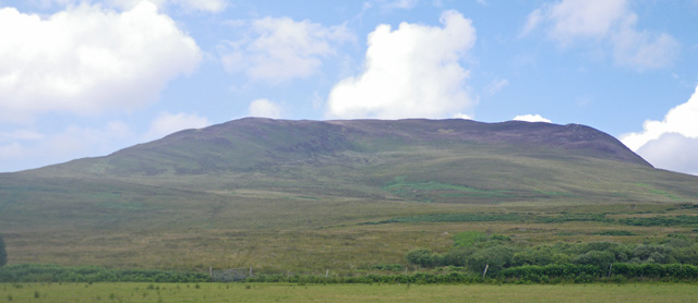
Level_pasture_leading_to_the_severe_slopes_of_Beinn_Bheigier_-_geograph.org.uk_-_1444410.jpg (640 × 278 بكسل حجم الملف: 80 كيلوبايت، نوع MIME: image/jpeg)
وصف قصير
| ⧼wm-license-information-description⧽ |
English: Level pasture leading to the severe slopes of Beinn Bheigier In the background are the steep southeast facing slopes of Beinn Bheigier.
|
| ⧼wm-license-information-date⧽ | 2009 |
| ⧼wm-license-information-source⧽ | From geograph.org.uk |
| ⧼wm-license-information-author⧽ | C Michael Hogan |
| ⧼wm-license-cc-attribution⧽ (قالب:I18n/Credit line) |
C Michael Hogan / Level pasture leading to the severe slopes of Beinn Bheigier / |
55°42′49″N 6°02′29″W / 55.71348°N 6.0414°W قالب:Object location
_heading:315)
ترخيص
تاريخ الملف
اضغط على زمن/تاريخ لرؤية الملف كما بدا في هذا الزمن.
| زمن/تاريخ | صورة مصغرة | الأبعاد | مستخدم | تعليق | |
|---|---|---|---|---|---|
| حالي | ★ مراجعة معتمدة 03:50، 22 أكتوبر 2023 | | 640 × 278 (80 كيلوبايت) | Pastakhov (نقاش | مساهمات) | Upload https://upload.wikimedia.org/wikipedia/commons/3/37/Level_pasture_leading_to_the_severe_slopes_of_Beinn_Bheigier_-_geograph.org.uk_-_1444410.jpg |
لا يمكنك استبدال هذا الملف.
وصلات
لا يوجد صفحات تصل لهذه الصورة.