ملف:Krepost Sveaborg general plan.png

حجم هذه المعاينة: 673 × 600 بكسل. البعد الآخر: 1٬104 × 984 بكسل.
الملف الأصلي (1٬104 × 984 بكسل حجم الملف: 167 كيلوبايت، نوع MIME: image/png)
| ⧼wm-license-information-description⧽ |
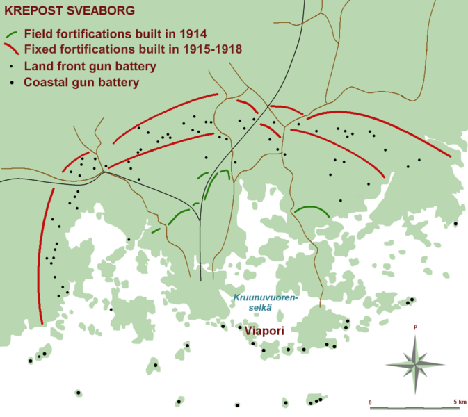
(Finnish) English: A map of Krepost Sveaborg, the land and sea fortification of Helsinki during the First World War.
|
| ⧼wm-license-information-date⧽ | 2010-05-23 16:58 (UTC) |
| ⧼wm-license-information-source⧽ | |
| ⧼wm-license-information-author⧽ |
|
| [This is a retouched picture, which means that it has been digitally altered from its original version. Modifications: Translated map captions to english.. The original can be viewed here: Krepost_Sveaborg_yleiskartta.png. Modifications made by MKFI.] Error: {{Lang}}: text has italic markup (help)
|
قالب:Cc-by-sa-3.0-migrated
|

قالب:Original upload log
This image is a derivative work of the following images:
- File:Krepost_Sveaborg_yleiskartta.png licensed with Cc-by-sa-2.5, Cc-by-sa-3.0-migrated, GFDL
- 2007-02-18T19:12:16Z Hautala 1104x984 (110497 Bytes) {{Cc-by-sa-2.5}} {{GFDL}} * {{fi|Karttapiirros Krepost Sveaborgista eli ensimmäisen maailmansodan aikaisesta Helsigin maa- ja merilinnoituksesta.}} * {{en|A map of Krepost Sveaborg, the land and sea fortification of Helsink
تاريخ الملف
اضغط على زمن/تاريخ لرؤية الملف كما بدا في هذا الزمن.
| زمن/تاريخ | صورة مصغرة | الأبعاد | مستخدم | تعليق | |
|---|---|---|---|---|---|
| حالي | ★ مراجعة معتمدة 11:32، 18 أكتوبر 2023 | | 1٬104 × 984 (167 كيلوبايت) | Pastakhov (نقاش | مساهمات) | Upload https://upload.wikimedia.org/wikipedia/commons/4/45/Krepost_Sveaborg_general_plan.png |
لا يمكنك استبدال هذا الملف.
وصلات
لا يوجد صفحات تصل لهذه الصورة.