ملف:Kilauea topographic map-fr.svg

حجم معاينة PNG لذلك الملف ذي الامتداد SVG: 800 × 560 بكسل. البعد الآخر: 2٬560 × 1٬792 بكسل.
الملف الأصلي (ملف SVG، أبعاده 3٬543 × 2٬480 بكسل، حجم الملف: 5٫22 ميجابايت)
وصف قصير
19°25′16″N 155°17′13″W / 19.42111°N 155.28694°W
| ⧼wm-license-information-description⧽ |
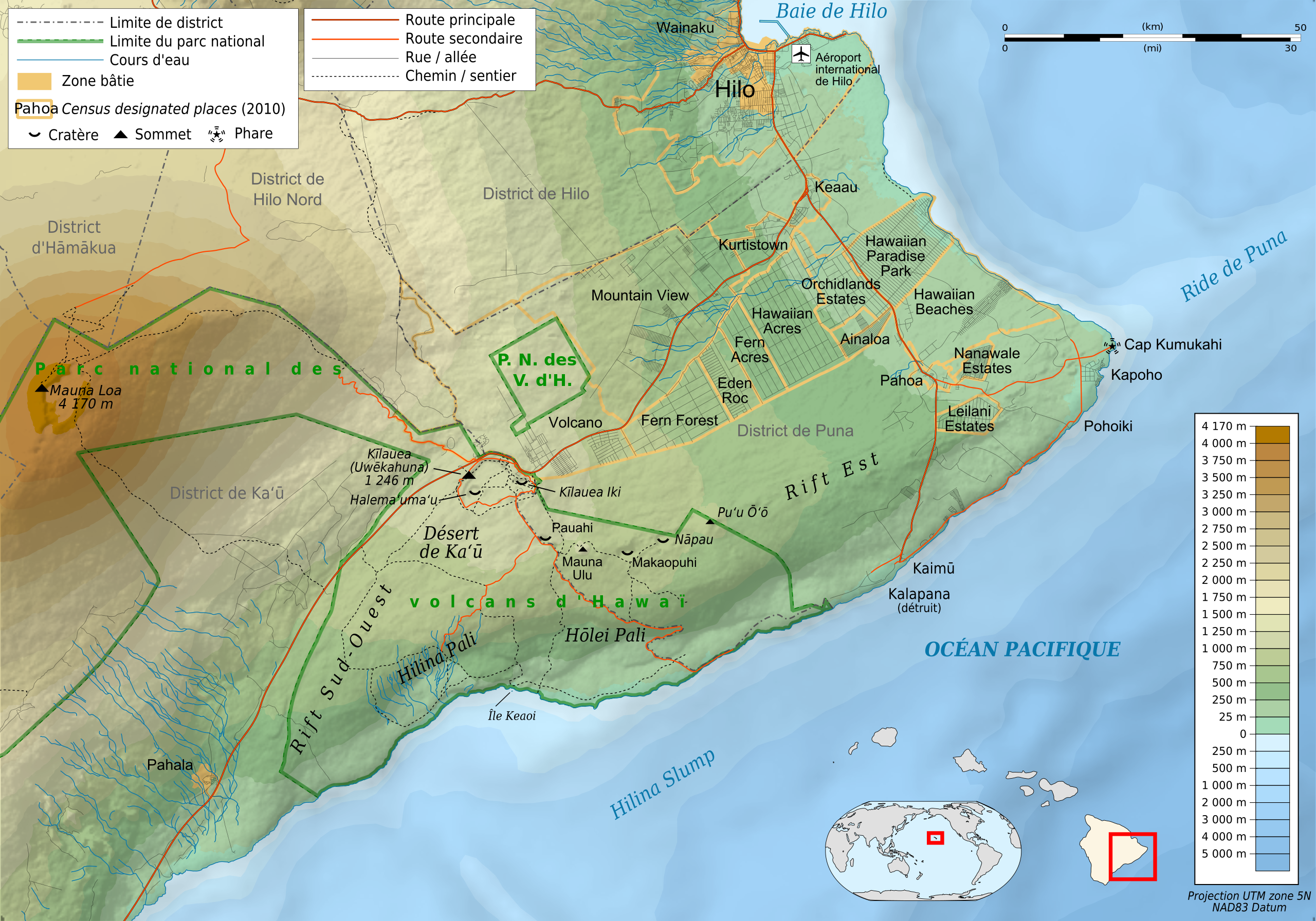
Français : Carte topographique et administrative en français du volcan Kīlauea
Deutsch: Topographische Karte / Verwaltungskarte zum Kīlauea, in Französische
English: Topographic and administrative map in French language of Kīlauea volcano
Español: Mapa topográfico y administrativo en francès del Kīlauea
Italiano: Carta topografica e amministrativa de Kīlauea (en francese)
(Japanese) (Portuguese)
|
| ⧼wm-license-information-date⧽ | 2012-03-24 00:22 (UTC) |
| ⧼wm-license-information-source⧽ | Création personnelle ;
|
| ⧼wm-license-information-author⧽ | © Bourrichon (talk) - fr:Bourrichon et Rémih. |
| ⧼wm-license-information-permission⧽ (⧼wm-license-information-permission-reusing-text⧽) |
|
| ⧼wm-license-information-other-versions⧽ |
Add-your-version : Template:Other versions/Hawaii map |
|
|
This image was created with Inkscape. |
ترخيص
|

تاريخ الملف
اضغط على زمن/تاريخ لرؤية الملف كما بدا في هذا الزمن.
| زمن/تاريخ | صورة مصغرة | الأبعاد | مستخدم | تعليق | |
|---|---|---|---|---|---|
| حالي | ★ مراجعة معتمدة 03:48، 9 نوفمبر 2023 | | 3٬543 × 2٬480 (5٫22 ميجابايت) | Pastakhov (نقاش | مساهمات) | Upload https://upload.wikimedia.org/wikipedia/commons/b/be/Kilauea_topographic_map-fr.svg |
لا يمكنك استبدال هذا الملف.
وصلات
لا يوجد صفحات تصل لهذه الصورة.