ملف:Free India orthographic map.png

حجم هذه المعاينة: 600 × 600 بكسل. البعد الآخر: 1٬000 × 1٬000 بكسل.
الملف الأصلي (1٬000 × 1٬000 بكسل حجم الملف: 290 كيلوبايت، نوع MIME: image/png)
{{Information |Description=
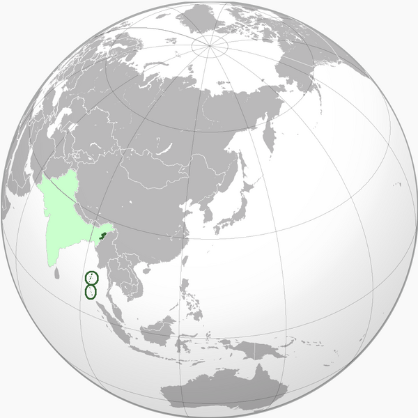
English: Green: Territory controlled
*Top: en:Andaman Islands
*Bottom: en:Nicobar Islands
Light green: Territory claimed
*Top: en:Andaman Islands
*Bottom: en:Nicobar Islands
Light green: Territory claimed
وصف قصير
| ⧼wm-license-information-description⧽ |
English: Green: Territory controlled
|
| ⧼wm-license-information-date⧽ | قالب:Original upload date |
| ⧼wm-license-information-source⧽ | قالب:Transferred from |
| ⧼wm-license-information-author⧽ | قالب:User at project |
ترخيص
قالب:Original upload log
- 2010-07-11 05:24 VoodooIsland 1000×1000× (296585 bytes)
- 2010-07-11 05:23 VoodooIsland 1000×1000× (296408 bytes)
- 2010-07-11 05:16 VoodooIsland 1000×1000× (296321 bytes) '''Green''': Territory controlled<br> *'''Top''': [[Andaman Islands]]<br> *'''Bottom''': [[Nicobar Islands]]<br> '''Light green''': Territory claimed
تاريخ الملف
اضغط على زمن/تاريخ لرؤية الملف كما بدا في هذا الزمن.
| زمن/تاريخ | صورة مصغرة | الأبعاد | مستخدم | تعليق | |
|---|---|---|---|---|---|
| حالي | ★ مراجعة معتمدة 18:22، 13 ديسمبر 2023 | | 1٬000 × 1٬000 (290 كيلوبايت) | Pastakhov (نقاش | مساهمات) | Upload https://upload.wikimedia.org/wikipedia/commons/b/bf/Free_India_orthographic_map.png |
لا يمكنك استبدال هذا الملف.
وصلات
لا يوجد صفحات تصل لهذه الصورة.