ملف:Florian Thiery UCC.jpg
حجم هذه المعاينة: 416 × 599 بكسل. البعد الآخر: 2٬267 × 3٬266 بكسل.
الملف الأصلي (2٬267 × 3٬266 بكسل حجم الملف: 2٫28 ميجابايت، نوع MIME: image/jpeg)
وصف قصير
| ⧼wm-license-information-description⧽ |
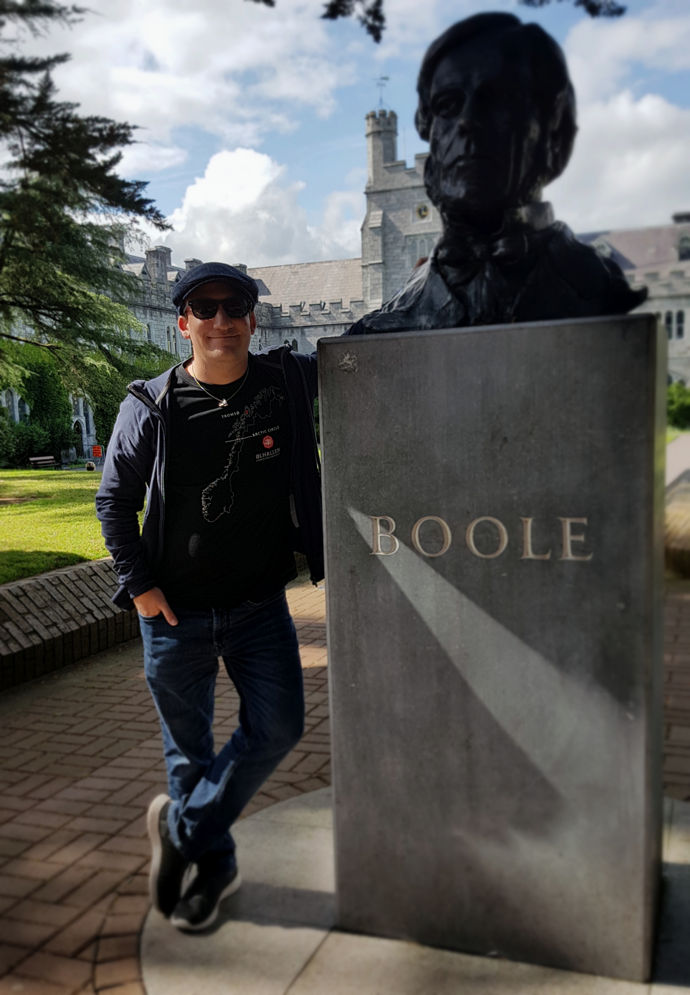
Deutsch: Florian Thiery ist ein Geodät und Research Software Engineer. Das Foto wurde während einer Reise zu Ogham Steinen an der UCC in Cork aufgenommen.
English: Florian Thiery is a Geodesist and Research Software Engineer. Foto was taken during a trip to ogham stones at UCC Cork.
|
| ⧼wm-license-information-date⧽ | 2019, {{time}} – invalid date format 16 (help) |
| ⧼wm-license-information-source⧽ | ⧼Wm-license-own-work⧽ |
| ⧼wm-license-information-author⧽ | Florian Thiery |
51°53′35″N 8°29′30″W / 51.893056°N 8.491667°W
ترخيص
|
تاريخ الملف
اضغط على زمن/تاريخ لرؤية الملف كما بدا في هذا الزمن.
| زمن/تاريخ | صورة مصغرة | الأبعاد | مستخدم | تعليق | |
|---|---|---|---|---|---|
| حالي | ★ مراجعة معتمدة 00:50، 23 نوفمبر 2023 | | 2٬267 × 3٬266 (2٫28 ميجابايت) | Pastakhov (نقاش | مساهمات) | Upload https://upload.wikimedia.org/wikipedia/commons/8/8f/Florian_Thiery_UCC.jpg |
لا يمكنك استبدال هذا الملف.
وصلات
لا يوجد صفحات تصل لهذه الصورة.