ملف:Drainage ditch near Shaw Bottom - geograph.org.uk - 215731.jpg
لا توجد دقة أعلى متوفرة.
Drainage_ditch_near_Shaw_Bottom_-_geograph.org.uk_-_215731.jpg (640 × 466 بكسل حجم الملف: 116 كيلوبايت، نوع MIME: image/jpeg)
وصف قصير
| ⧼wm-license-information-description⧽ |
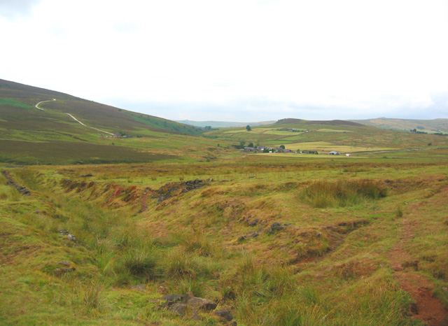
English: Drainage ditch near Shaw Bottom. Long drainage ditch, currently dry, between areas of rough cattle pasture near the farm of Shaw Bottom. The elevation at left of frame is the Roaches. The farms in the distance are Goldsitch House and Blackbank
|
| ⧼wm-license-information-date⧽ | 2006 |
| ⧼wm-license-information-source⧽ | From geograph.org.uk |
| ⧼wm-license-information-author⧽ | Espresso Addict |
| ⧼wm-license-cc-attribution⧽ (قالب:I18n/Credit line) |
Espresso Addict / Drainage ditch near Shaw Bottom / |
ترخيص
تاريخ الملف
اضغط على زمن/تاريخ لرؤية الملف كما بدا في هذا الزمن.
| زمن/تاريخ | صورة مصغرة | الأبعاد | مستخدم | تعليق | |
|---|---|---|---|---|---|
| حالي | ★ مراجعة معتمدة 12:23، 30 نوفمبر 2023 | | 640 × 466 (116 كيلوبايت) | Pastakhov (نقاش | مساهمات) | Upload https://upload.wikimedia.org/wikipedia/commons/d/d7/Drainage_ditch_near_Shaw_Bottom_-_geograph.org.uk_-_215731.jpg |
لا يمكنك استبدال هذا الملف.
وصلات
لا يوجد صفحات تصل لهذه الصورة.