ملف:Cordillera Orientale de Colombia.jpg
حجم هذه المعاينة: 412 × 599 بكسل. البعد الآخر: 660 × 960 بكسل.
الملف الأصلي (660 × 960 بكسل حجم الملف: 425 كيلوبايت، نوع MIME: image/jpeg)
| ⧼wm-license-information-description⧽ |
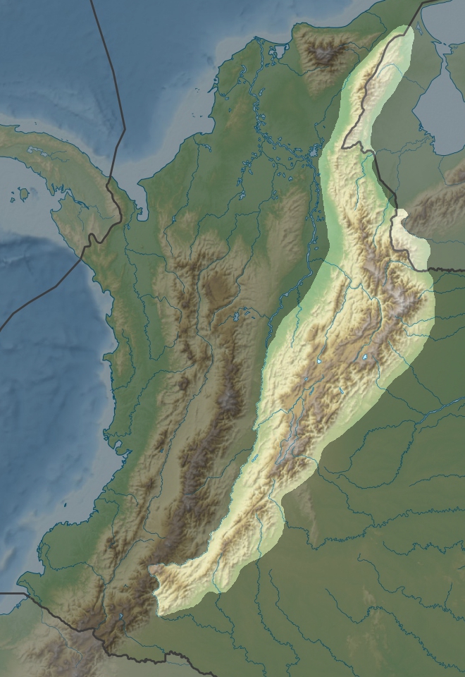
Français : Cordillère Orientale en Colombie
|
| ⧼wm-license-information-date⧽ | 2011-05-06 19:56 (UTC) |
| ⧼wm-license-information-source⧽ | |
| ⧼wm-license-information-author⧽ |
|
| [This is a retouched picture, which means that it has been digitally altered from its original version. The original can be viewed here: Colombia_relief_location_map.jpg. Modifications made by Dr Brains.] Error: {{Lang}}: text has italic markup (help)
|
|
قالب:Original upload log
This image is a derivative work of the following images:
- File:Colombia_relief_location_map.jpg licensed with Cc-by-sa-3.0
- 2010-02-06T12:38:55Z Alexrk2 1516x1736 (922328 Bytes) {{Information |Description= {{de|Physische Positionskarte von [[:de:Kolumbien|Kolumbien]] Quadratische Plattkarte. Geographische Begrenzung der Karte:}} {{en|Physical Location map of [[:en:Colombia|Colombia]] Equirectangular
تاريخ الملف
اضغط على زمن/تاريخ لرؤية الملف كما بدا في هذا الزمن.
| زمن/تاريخ | صورة مصغرة | الأبعاد | مستخدم | تعليق | |
|---|---|---|---|---|---|
| حالي | ★ مراجعة معتمدة 15:35، 18 نوفمبر 2023 | | 660 × 960 (425 كيلوبايت) | Pastakhov (نقاش | مساهمات) | Upload https://upload.wikimedia.org/wikipedia/commons/7/72/Cordillera_Orientale_de_Colombia.jpg |
لا يمكنك استبدال هذا الملف.
وصلات
لا يوجد صفحات تصل لهذه الصورة.