ملف:Carte de la Bigorre.svg

حجم معاينة PNG لذلك الملف ذي الامتداد SVG: 581 × 600 بكسل. البعد الآخر: 1٬984 × 2٬048 بكسل.
الملف الأصلي (ملف SVG، أبعاده 653 × 674 بكسل، حجم الملف: 261 كيلوبايت)
وصف قصير
| ⧼wm-license-information-description⧽ |
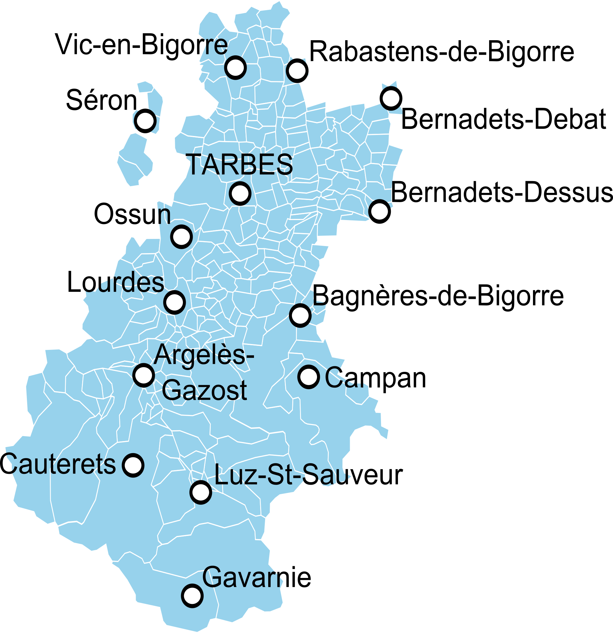
English: Map of the old province of Bigorre, France, showing the communes according to the current administrative division. Français : Carte du pays de Bigorre montrant les communes actuelles.
|
| ⧼wm-license-information-date⧽ | 2014, {{time}} – invalid date format 41 (help) |
| ⧼wm-license-information-source⧽ | Carte du Bearn de la Bigorre, de l'Armagnac et des Pays Voisins, Guillaume Delisle. قالب:DerivativeVersions by Poulpy |
| ⧼wm-license-information-author⧽ | Oie blanche |
ترخيص
|
تاريخ الملف
اضغط على زمن/تاريخ لرؤية الملف كما بدا في هذا الزمن.
| زمن/تاريخ | صورة مصغرة | الأبعاد | مستخدم | تعليق | |
|---|---|---|---|---|---|
| حالي | ★ مراجعة معتمدة 09:54، 9 نوفمبر 2023 | | 653 × 674 (261 كيلوبايت) | Pastakhov (نقاش | مساهمات) | Upload https://upload.wikimedia.org/wikipedia/commons/c/cb/Carte_de_la_Bigorre.svg |
لا يمكنك استبدال هذا الملف.
وصلات
لا يوجد صفحات تصل لهذه الصورة.