ملف:CQA Four Mile Bridge.jpg

حجم هذه المعاينة: 753 × 600 بكسل. البعدان الآخران: 2٬560 × 2٬039 بكسل | 4٬624 × 3٬683 بكسل.
الملف الأصلي (4٬624 × 3٬683 بكسل حجم الملف: 1٫88 ميجابايت، نوع MIME: image/jpeg)
| موضوعات | |
|---|---|
| قوائم حسب الولاية |
|
| قائمة الأراضي | |
| قوائم حسب الولايات المرتبطة | |
| أخرى | |
43°36′13″N 108°11′48″W / 43.60361°N 108.19667°W
| ⧼wm-license-information-description⧽ |
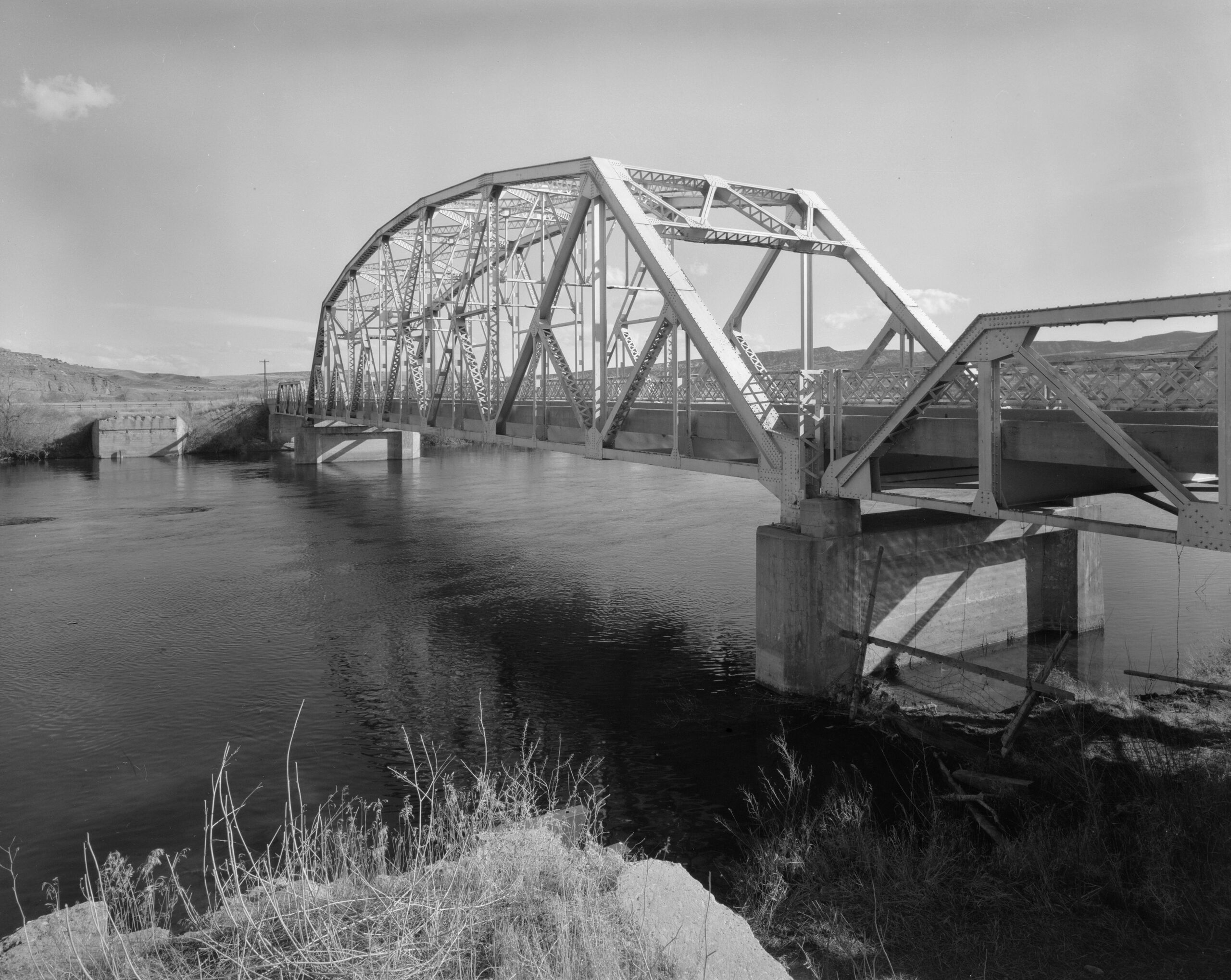
English: Eastern side of the CQA Four Mile Bridge, which carries WYO 173 over the Bighorn River near Thermopolis in Hot Springs County, Wyoming, United States. Built in 1927, this Pennsylvania through truss bridge is listed on the National Register of Historic Places.
|
| ⧼wm-license-information-date⧽ | 1982 |
| ⧼wm-license-information-source⧽ | Library of Congress, Prints and Photograph Division HAER: WYO,9-THERM.V,2-1 قالب:LOC-image |
| ⧼wm-license-information-author⧽ | Clayton B. Fraser |
| ⧼wm-license-information-permission⧽ (⧼wm-license-information-permission-reusing-text⧽) |
تاريخ الملف
اضغط على زمن/تاريخ لرؤية الملف كما بدا في هذا الزمن.
| زمن/تاريخ | صورة مصغرة | الأبعاد | مستخدم | تعليق | |
|---|---|---|---|---|---|
| حالي | ★ مراجعة معتمدة 20:05، 11 أكتوبر 2023 | | 4٬624 × 3٬683 (1٫88 ميجابايت) | Pastakhov (نقاش | مساهمات) | Upload https://upload.wikimedia.org/wikipedia/commons/1/13/CQA_Four_Mile_Bridge.jpg |
لا يمكنك استبدال هذا الملف.
وصلات
لا يوجد صفحات تصل لهذه الصورة.