ملف:Bridleway to Bigods Hall - geograph.org.uk - 564279.jpg
لا توجد دقة أعلى متوفرة.
Bridleway_to_Bigods_Hall_-_geograph.org.uk_-_564279.jpg (640 × 426 بكسل حجم الملف: 125 كيلوبايت، نوع MIME: image/jpeg)
وصف قصير
| ⧼wm-license-information-description⧽ |
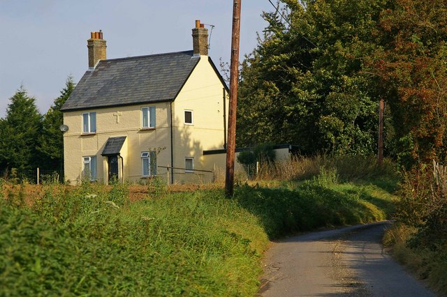
English: Bridleway to Bigods Hall The OS map shows this as a minor public road but at its start signs make it clear this is a private road and bridleway
|
| ⧼wm-license-information-date⧽ | 2007 |
| ⧼wm-license-information-source⧽ | From geograph.org.uk |
| ⧼wm-license-information-author⧽ | Glyn Baker |
| ⧼wm-license-cc-attribution⧽ (قالب:I18n/Credit line) |
Glyn Baker / Bridleway to Bigods Hall / |
51°53′40″N 0°21′50″E / 51.89452°N 0.3639°E قالب:Object location
_heading:337)
ترخيص
تاريخ الملف
اضغط على زمن/تاريخ لرؤية الملف كما بدا في هذا الزمن.
| زمن/تاريخ | صورة مصغرة | الأبعاد | مستخدم | تعليق | |
|---|---|---|---|---|---|
| حالي | ★ مراجعة معتمدة 10:54، 2 نوفمبر 2023 | | 640 × 426 (125 كيلوبايت) | Pastakhov (نقاش | مساهمات) | Upload https://upload.wikimedia.org/wikipedia/commons/5/56/Bridleway_to_Bigods_Hall_-_geograph.org.uk_-_564279.jpg |
لا يمكنك استبدال هذا الملف.
وصلات
لا يوجد صفحات تصل لهذه الصورة.