ملف:BlankMap-World6, compact.svg

حجم معاينة PNG لذلك الملف ذي الامتداد SVG: 800 × 353 بكسل. البعد الآخر: 2٬560 × 1٬130 بكسل.
الملف الأصلي (ملف SVG، أبعاده 940 × 415 بكسل، حجم الملف: 1٫45 ميجابايت)
| ⧼wm-license-information-description⧽ |
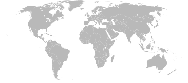
Detailed SVG map with grouping enabled to connect all non-contiguous parts of a country's territory for easy colouring. Smaller countries can also be represented by larger circles to show their data easier. A thorough description of use and other instructions can be found on the instruction page for the non-compact map. This is a more compact version of BlankMap-World6.svg where Antarctica has been removed. Please make any updates primarily to the other map since this one should be keept as identical to the original as possible. |
||
| ⧼wm-license-information-date⧽ | 14-12-2007 | ||
| ⧼wm-license-information-source⧽ | Based on BlankMap-World6.svg | ||
| ⧼wm-license-information-author⧽ | Canuckguy et al. | ||
| ⧼wm-license-information-permission⧽ (⧼wm-license-information-permission-reusing-text⧽) |
|
||
| ⧼wm-license-information-other-versions⧽ | قالب:DerivativeVersions |
تاريخ الملف
اضغط على زمن/تاريخ لرؤية الملف كما بدا في هذا الزمن.
| زمن/تاريخ | صورة مصغرة | الأبعاد | مستخدم | تعليق | |
|---|---|---|---|---|---|
| حالي | 23:59، 4 مارس 2009 | | 940 × 415 (1٫45 ميجابايت) | Khalil111 (نقاش | مساهمات) |
لا يمكنك استبدال هذا الملف.
وصلات
لا يوجد صفحات تصل لهذه الصورة.