ملف:Bauges devant depuis la Galoppaz.jpg

حجم هذه المعاينة: 800 × 389 بكسل. البعدان الآخران: 2٬560 × 1٬244 بكسل | 4٬608 × 2٬240 بكسل.
الملف الأصلي (4٬608 × 2٬240 بكسل حجم الملف: 4٫89 ميجابايت، نوع MIME: image/jpeg)
وصف قصير
| ⧼wm-license-information-description⧽ |
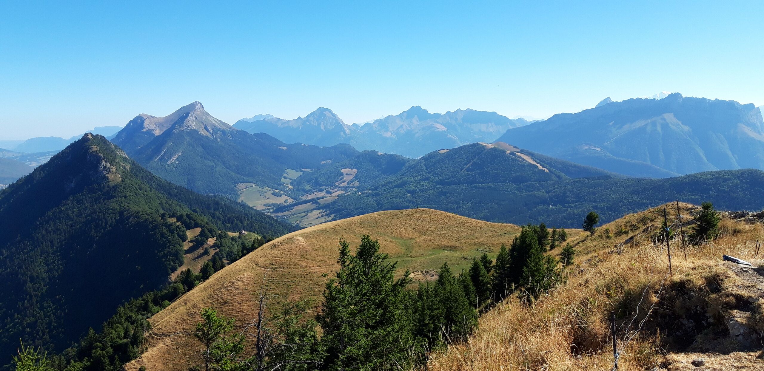
Français : La partie orientale des Bauges (« Bauges devant ») vue depuis la pointe de la Galoppaz (1680 mètres) en direction du nord-est. De gauche à droite :
|
| ⧼wm-license-information-date⧽ | 2022, {{time}} – invalid date format 14 (help) |
| ⧼wm-license-information-source⧽ | ⧼Wm-license-own-work⧽ |
| ⧼wm-license-information-author⧽ | Laurent Jerry |
ترخيص
|
تاريخ الملف
اضغط على زمن/تاريخ لرؤية الملف كما بدا في هذا الزمن.
| زمن/تاريخ | صورة مصغرة | الأبعاد | مستخدم | تعليق | |
|---|---|---|---|---|---|
| حالي | ★ مراجعة معتمدة 11:06، 3 نوفمبر 2023 | | 4٬608 × 2٬240 (4٫89 ميجابايت) | Pastakhov (نقاش | مساهمات) | Upload https://upload.wikimedia.org/wikipedia/commons/5/58/Bauges_devant_depuis_la_Galoppaz.jpg |
لا يمكنك استبدال هذا الملف.
وصلات
لا يوجد صفحات تصل لهذه الصورة.