ملف:Askew Road, Shepherds Bush - geograph.org.uk - 1708720.jpg

حجم هذه المعاينة: 800 × 600 بكسل. البعد الآخر: 1٬600 × 1٬200 بكسل.
الملف الأصلي (1٬600 × 1٬200 بكسل حجم الملف: 587 كيلوبايت، نوع MIME: image/jpeg)
وصف قصير
| ⧼wm-license-information-description⧽ |
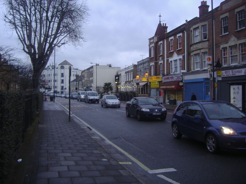
English: Askew Road, Shepherds Bush The B408 begins in Hammersmith and includes a pre-Worboys direction sign at the south end as of early 2010.
|
| ⧼wm-license-information-date⧽ | 2010 |
| ⧼wm-license-information-source⧽ | From geograph.org.uk |
| ⧼wm-license-information-author⧽ | David Howard |
| ⧼wm-license-cc-attribution⧽ (قالب:I18n/Credit line) |
David Howard / Askew Road, Shepherds Bush / |
51°30′02″N 0°14′22″W / 51.50063°N 0.2395°W قالب:Object location
_heading:337)
ترخيص
تاريخ الملف
اضغط على زمن/تاريخ لرؤية الملف كما بدا في هذا الزمن.
| زمن/تاريخ | صورة مصغرة | الأبعاد | مستخدم | تعليق | |
|---|---|---|---|---|---|
| حالي | ★ مراجعة معتمدة 17:12، 12 أكتوبر 2023 | | 1٬600 × 1٬200 (587 كيلوبايت) | Pastakhov (نقاش | مساهمات) | Upload https://upload.wikimedia.org/wikipedia/commons/3/3e/Askew_Road%2C_Shepherds_Bush_-_geograph.org.uk_-_1708720.jpg |
لا يمكنك استبدال هذا الملف.
وصلات
لا يوجد صفحات تصل لهذه الصورة.