ملف:Arizona State Route 77 Between Snowflake, Arizona and Holbrook, Arizona.jpeg

حجم هذه المعاينة: 800 × 600 بكسل. البعدان الآخران: 2٬560 × 1٬920 بكسل | 2٬816 × 2٬112 بكسل.
الملف الأصلي (2٬816 × 2٬112 بكسل حجم الملف: 1٫89 ميجابايت، نوع MIME: image/jpeg)
وصف قصير
| ⧼wm-license-information-description⧽ |
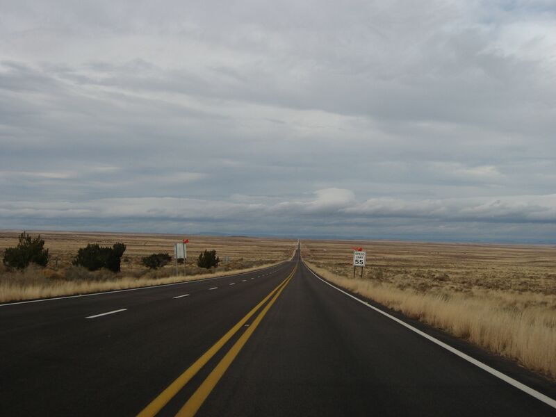
English: State Route 77 (or SR 77) is a state highway in Arizona that traverses much of the state's length, stretching from its northern terminus at the boundary of the Navajo Nation north of Holbrook to its junction with I-10 in Tucson.
At its southern terminus, north of Tucson, the road is known as Oracle Road until the final mile and a half when the road turns westward directly toward Interstate 10 and is called Miracle Mile Road, named such in 1962.
|
| ⧼wm-license-information-date⧽ | |
| ⧼wm-license-information-source⧽ | https://www.flickr.com/photos/kenlund/5276723548/ |
| ⧼wm-license-information-author⧽ | Ken Lund |
ترخيص
تاريخ الملف
اضغط على زمن/تاريخ لرؤية الملف كما بدا في هذا الزمن.
| زمن/تاريخ | صورة مصغرة | الأبعاد | مستخدم | تعليق | |
|---|---|---|---|---|---|
| حالي | ★ مراجعة معتمدة 04:47، 12 نوفمبر 2023 | | 2٬816 × 2٬112 (1٫89 ميجابايت) | Pastakhov (نقاش | مساهمات) | Upload https://upload.wikimedia.org/wikipedia/commons/7/75/Arizona_State_Route_77_Between_Snowflake%2C_Arizona_and_Holbrook%2C_Arizona.jpeg |
لا يمكنك استبدال هذا الملف.
وصلات
لا يوجد صفحات تصل لهذه الصورة.