ملف:A232 Croydon Road BR2 junction with A233 - geograph.org.uk - 47228.jpg
لا توجد دقة أعلى متوفرة.
A232_Croydon_Road_BR2_junction_with_A233_-_geograph.org.uk_-_47228.jpg (640 × 473 بكسل حجم الملف: 81 كيلوبايت، نوع MIME: image/jpeg)
وصف قصير
| ⧼wm-license-information-description⧽ |
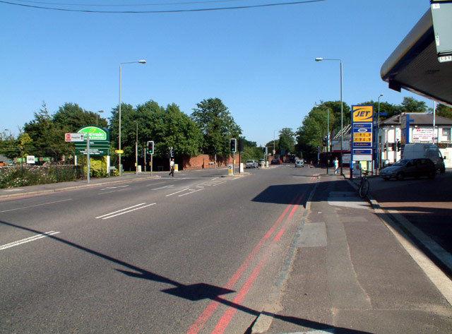
English: Croydon Road, Keston (A232) junction with A233, looking east; Oakley Road to the left (north), Westerham Road to the south. At grid reference TQ419651. A Wyevale garden centre is northwest of the crossroads, with a Jet filling station to the southwest. The site of the former Keston Mark pub southeast of the crossroads is being redeveloped for "exclusive" dwellings (i.e. anyone, presumably, with the requisite dosh).
|
| ⧼wm-license-information-date⧽ | 2005 |
| ⧼wm-license-information-source⧽ | From geograph.org.uk |
| ⧼wm-license-information-author⧽ | Philip Talmage |
| ⧼wm-license-information-permission⧽ (⧼wm-license-information-permission-reusing-text⧽) |
Creative Commons Attribution Share-alike license 2.0 |
ترخيص
تاريخ الملف
اضغط على زمن/تاريخ لرؤية الملف كما بدا في هذا الزمن.
| زمن/تاريخ | صورة مصغرة | الأبعاد | مستخدم | تعليق | |
|---|---|---|---|---|---|
| حالي | ★ مراجعة معتمدة 10:06، 2 نوفمبر 2023 | | 640 × 473 (81 كيلوبايت) | Pastakhov (نقاش | مساهمات) | Upload https://upload.wikimedia.org/wikipedia/commons/0/02/A232_Croydon_Road_BR2_junction_with_A233_-_geograph.org.uk_-_47228.jpg |
لا يمكنك استبدال هذا الملف.
وصلات
لا يوجد صفحات تصل لهذه الصورة.