ملف:2016-06-25 09 47 34 View south along Maryland State Route 36 (Mount Savage Road) just east of St. Georges Lane in Mount Savage, Allegany County, Maryland.jpg

حجم هذه المعاينة: 800 × 591 بكسل. البعدان الآخران: 2٬560 × 1٬891 بكسل | 3٬208 × 2٬370 بكسل.
الملف الأصلي (3٬208 × 2٬370 بكسل حجم الملف: 3٫75 ميجابايت، نوع MIME: image/jpeg)
وصف قصير
| ⧼wm-license-information-description⧽ |
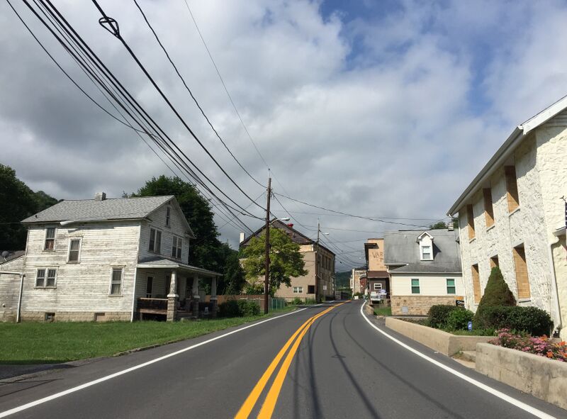
English: View south along Maryland State Route 36 (Mount Savage Road) just east of St. Georges Lane in Mount Savage, Allegany County, Maryland
|
| ⧼wm-license-information-date⧽ | 2016, {{time}} – invalid date format 47 (help) |
| ⧼wm-license-information-source⧽ | ⧼Wm-license-own-work⧽ |
| ⧼wm-license-information-author⧽ | Famartin |
39°41′47″N 78°52′32″W / 39.696428°N 78.875586°W
_just_east_of_St._Georges_Lane_in_Mount_Savage,_Allegany_County,_Maryland.jpg¶ms=39.696428_N_78.875586_W_heading:89.42335766423358)
ترخيص
|
تاريخ الملف
اضغط على زمن/تاريخ لرؤية الملف كما بدا في هذا الزمن.
| زمن/تاريخ | صورة مصغرة | الأبعاد | مستخدم | تعليق | |
|---|---|---|---|---|---|
| حالي | ★ مراجعة معتمدة 06:34، 12 نوفمبر 2023 | | 3٬208 × 2٬370 (3٫75 ميجابايت) | Pastakhov (نقاش | مساهمات) | Upload https://upload.wikimedia.org/wikipedia/commons/e/eb/2016-06-25_09_47_34_View_south_along_Maryland_State_Route_36_%28Mount_Savage_Road%29_just_east_of_St._Georges_Lane_in_Mount_Savage%2C_Allegany_County%2C_Maryland.jpg |
لا يمكنك استبدال هذا الملف.
وصلات
لا يوجد صفحات تصل لهذه الصورة.
_just_east_of_St._Georges_Lane_in_Mount_Savage,_Allegany_County,_Maryland.jpg&oldid=3483067)