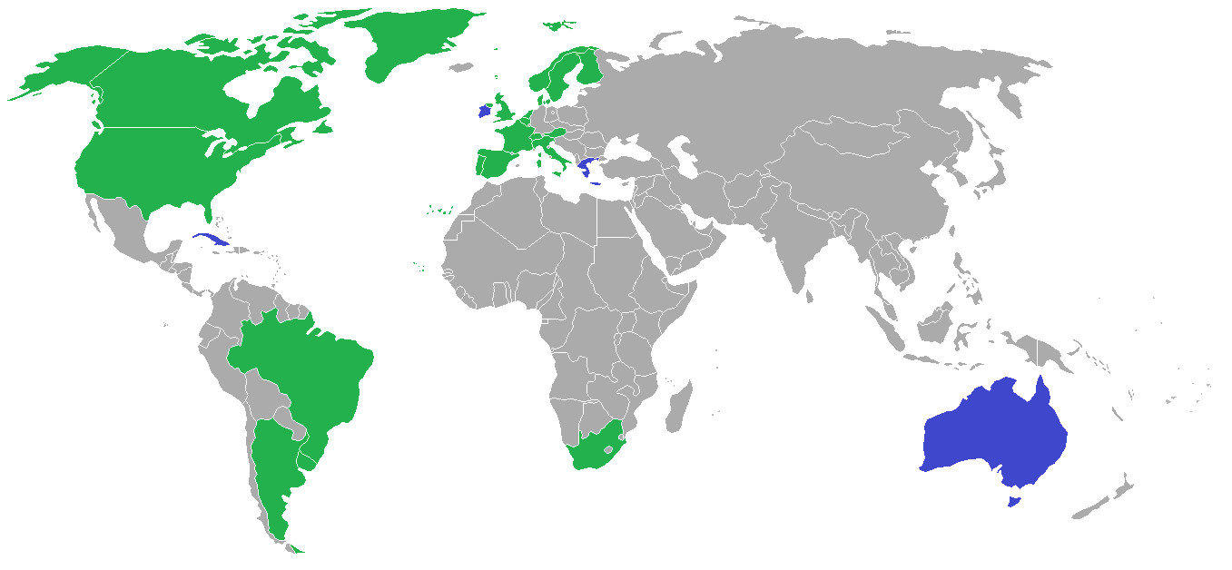
ملف:1948 Olympic Sailing Countries.png
حجم هذه المعاينة: 800 × 370 بكسل. البعد الآخر: 1٬357 × 628 بكسل.
الملف الأصلي (1٬357 × 628 بكسل حجم الملف: 19 كيلوبايت، نوع MIME: image/png)
| ⧼wm-license-information-description⧽ | |
| ⧼wm-license-information-date⧽ | 2010-06-23 16:32 (UTC) |
| ⧼wm-license-information-source⧽ | |
| ⧼wm-license-information-author⧽ |
|
| [This is a retouched picture, which means that it has been digitally altered from its original version. Modifications: Adding the 1948 Olympic sailing countries. The original can be viewed here: BlankMap-World-1957.png. Modifications made by [[User:VYGOcommons (talk) 16:33, 23 June 2010 (UTC)|VYGOcommons (talk) 16:33, 23 June 2010 (UTC)]].] Error: {{Lang}}: text has italic markup (help)
|
|

قالب:Original upload log
This image is a derivative work of the following images:
- File:BlankMap-World-1957.png licensed with Cc-by-sa-3.0-migrated, GFDL
- 2007-08-06T01:03:49Z Hoshie 1357x628 (48559 Bytes) added Cabinda, under same license as original.
- 2007-01-29T02:57:15Z Hoshie 1357x628 (48548 Bytes) Added the Canal Zone
- 2006-12-22T02:07:12Z Roke 1357x628 (48548 Bytes) somaliland, cameroons, sikkim, goa, rm walvis bay (part of SW Africa until 1971), reduce size of microstates, add some missing islands
- 2006-12-19T03:55:05Z Hoshie 1357x628 (48056 Bytes) Added the Neutral Zones between Saudi, Iraq, and Kuwait, Walvis Bay, and Port. Timor. Under same license as original.
- 2006-12-05T13:59:07Z Roke 1357x628 (27664 Bytes) Blank map of the world showing 1957 borders. [[Category:Historical blank world maps]] [[Category:1957]]
تاريخ الملف
اضغط على زمن/تاريخ لرؤية الملف كما بدا في هذا الزمن.
| زمن/تاريخ | صورة مصغرة | الأبعاد | مستخدم | تعليق | |
|---|---|---|---|---|---|
| حالي | ★ مراجعة معتمدة 03:45، 4 ديسمبر 2023 | | 1٬357 × 628 (19 كيلوبايت) | Pastakhov (نقاش | مساهمات) | Upload https://upload.wikimedia.org/wikipedia/commons/7/73/1948_Olympic_Sailing_Countries.png |
لا يمكنك استبدال هذا الملف.
وصلات
لا يوجد صفحات تصل لهذه الصورة.